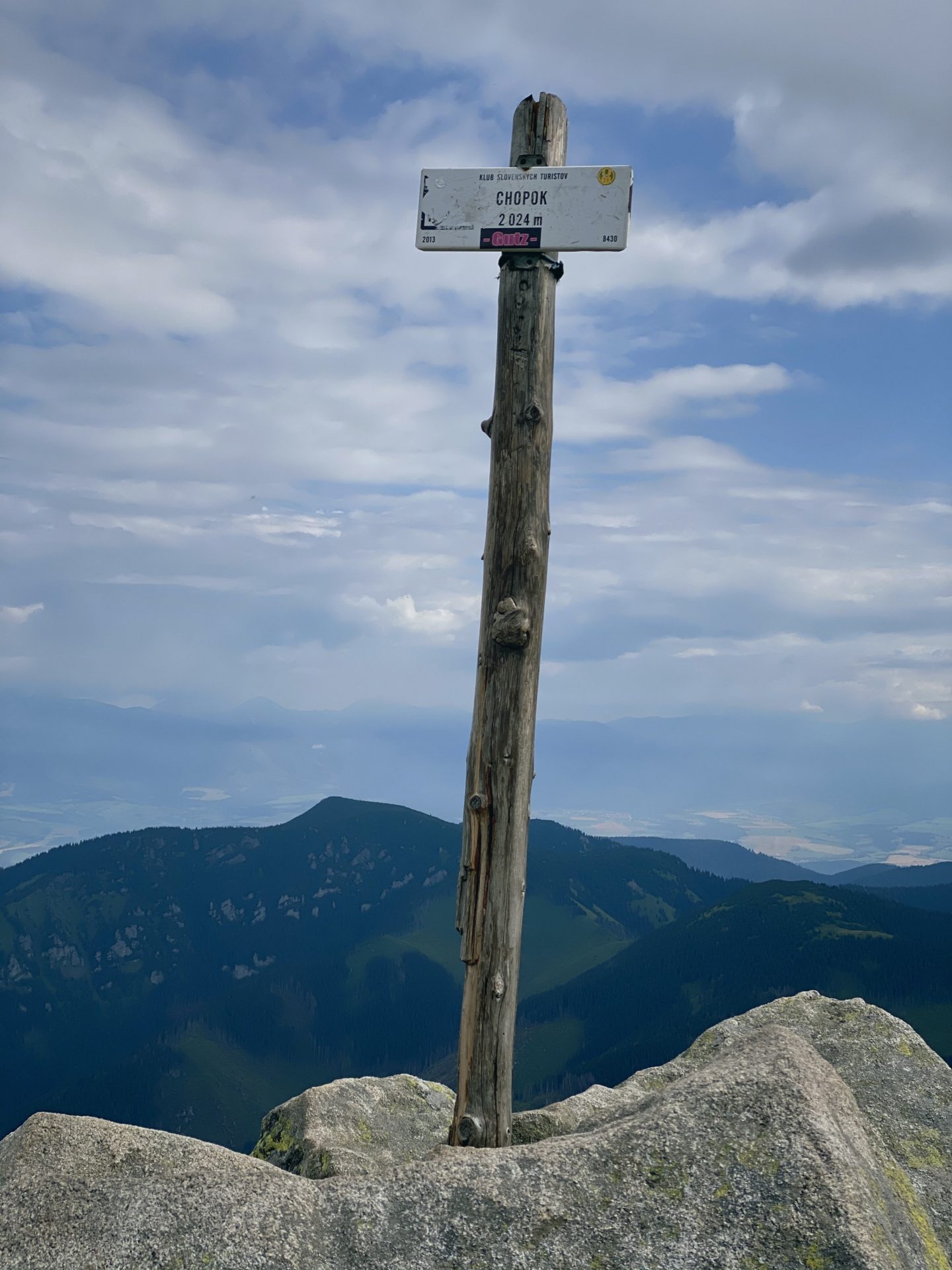
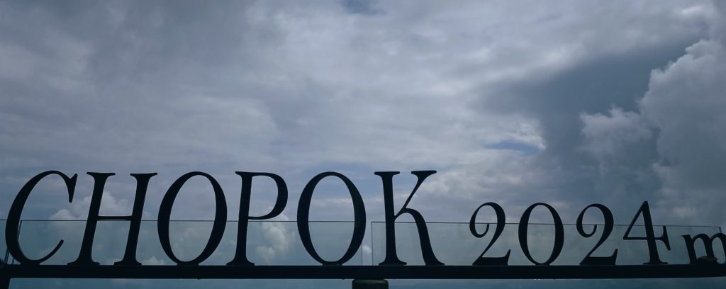
The Low Tatras is a mountain range in central Slovakia, separated from the northern High Tatras by the River Váh. The highest point is the hill Ďumbier (2.043 m / 6.810 ft), however, it was not the hill we climbed. Our destination was the third-highest peak Chopok (2.024 m / 6.746 ft).
The National Park Low Tatras lies below its big brother High Tatras, lying between the valleys of rivers Vah from the north and Hron from the south. It is a popular hiking destination and in my humble opinion with much nicer nature than high Tatras (there it’s all about stones).
Apart from hiking it is a popular skiing spot as well. Winter sports are very popular here and there are a lot slopes to choose from.
Our waddle was full of action as well. Before reaching the top we had heavy rain, we waddled through a magical forest, sweathed through more than one shirt, went out of breath and then finally reached it. The top and it is not easy, will be honest here.
Our waddle:
- Waddle duration: 3 hours 8 minutes
- Distance: 7.15 km (4.44 miles)
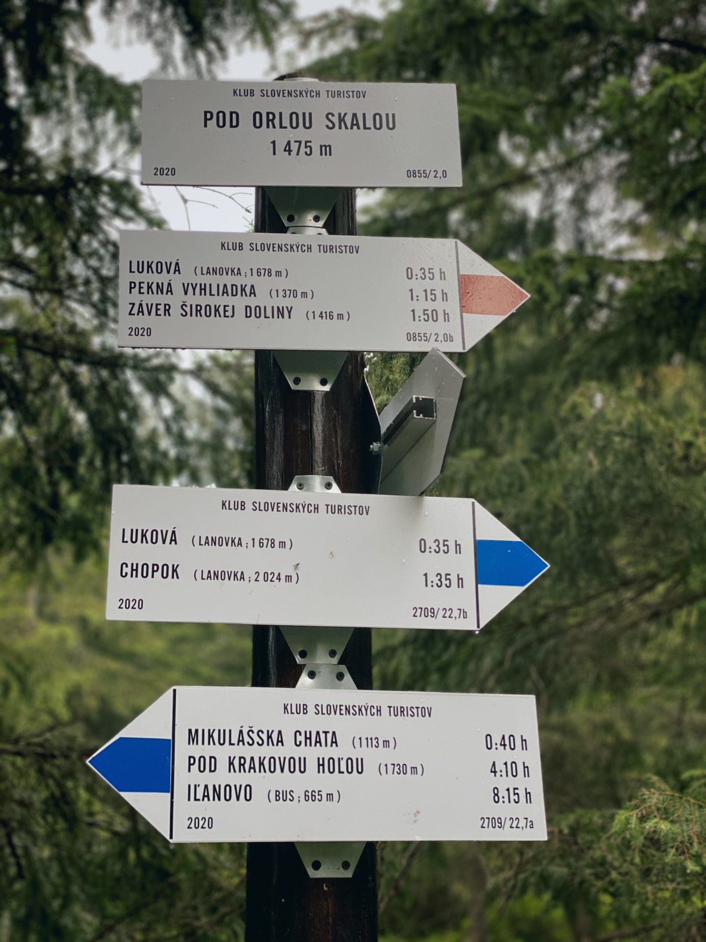
- Route: Red&Blue
- Map: link
- Things to see: beautiful view from Chopok
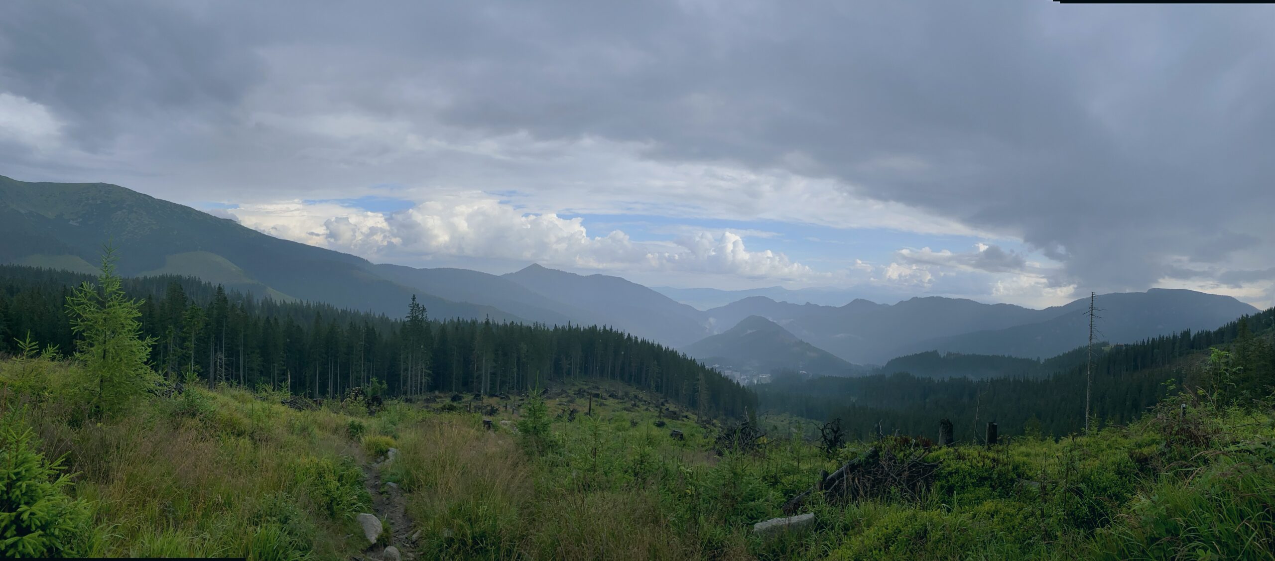
Our day was rainy and cloudy, which made the hike bearable and with petrichor (which I love).
The Low Tatras offer a very large number of trails with various levels of difficulty. There are more than 840km (about 521 miles) of marked hiking trails and about 15 natural trails, but Chopok is a must for eveyone visiting.
The National Park of the Low Tatras (NAPANT) is the largest Slovak National Park and was established in 1978 and in 1997 the limits of the National Park were widened for better protection of the territory.
The official administration of the National Park seats in Banská Bystrica. The typical features of this Park are long valleys, deep canyons and steep rocks, coated by dwarf pines and much more.
Accesability
Emphasizing again – come early in the morning. We started the waddle from the parking lot at 7:41 AM and when we arrived the parking was empty. When returning it was filled with cars with no free space to park.
Thankfully there are more than enough parking spaces available. The one we choose was for free and easily accesible. Others might be paid for.
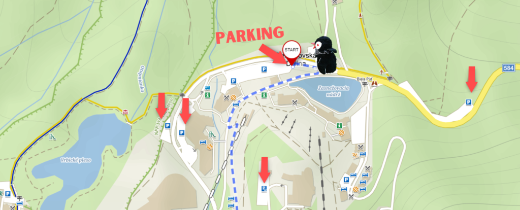
The parking spaces vary in size as well from 50 to 520 cars. The overall paid parking should be around 5 € (about 5.92 $). For more information click here link.
The Waddle
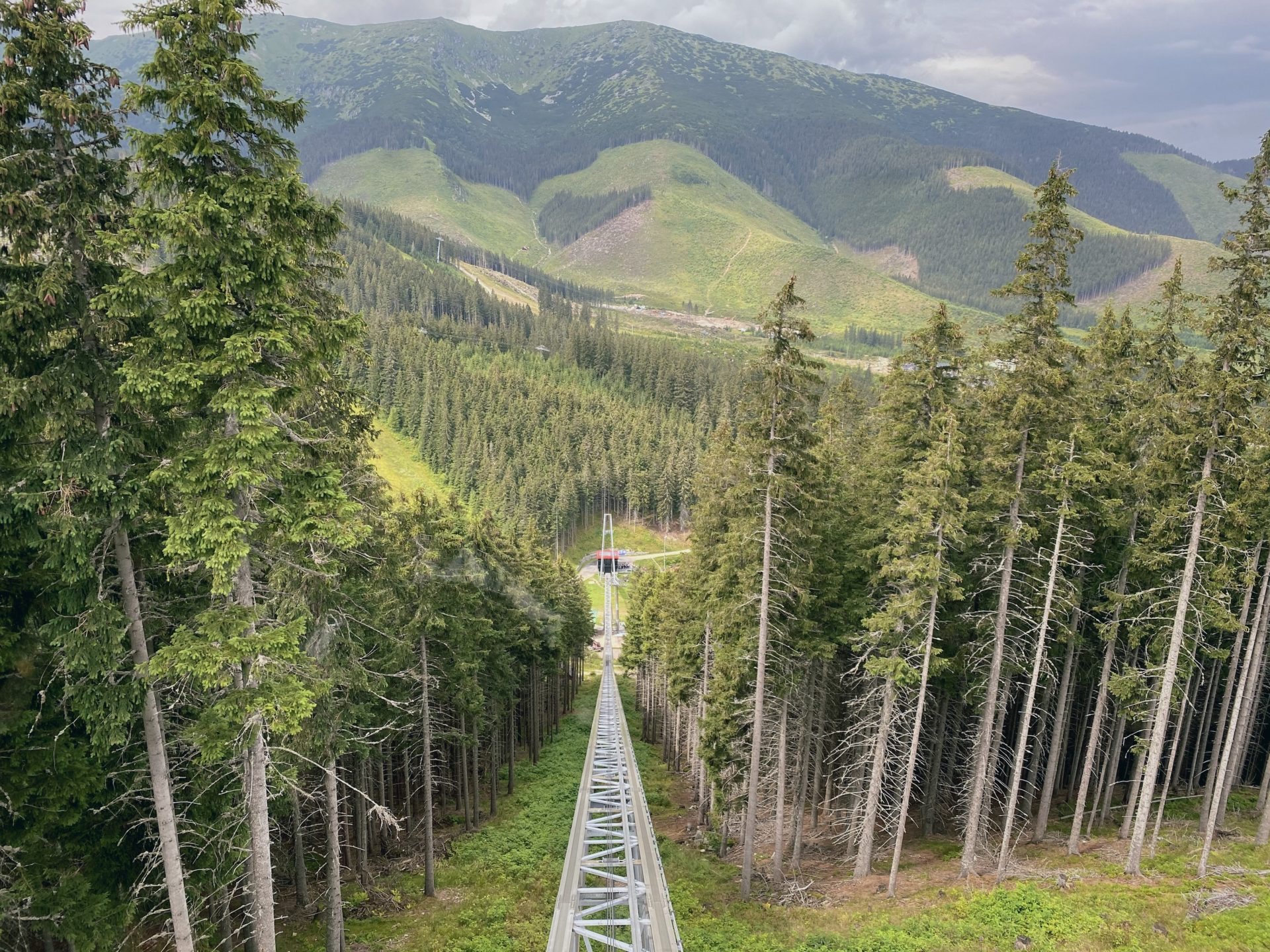
For this waddle you have to be a more experienced, but also fit hiker. There is a possibility to go up by cable car right to the top, but we are more for the waddle and experience.
Chopok – the third-highest peak of Low Tatras (2.024 m / 6.746 ft) is surely a nice chalenge. Take some food (snacks) with you and be prepared for breaks.

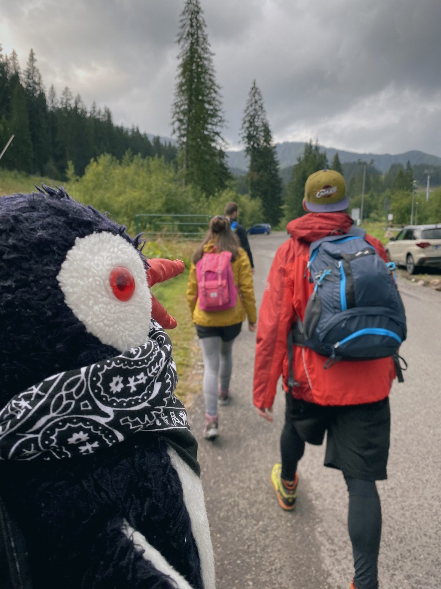
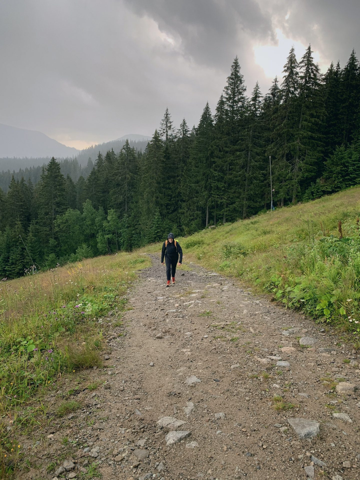
Our waddle did not start the best way. Already at the bottom we experienced heavy rain that we haven’t been best equipted for, but it did not stop us. It was raining heavily the whole way up the ski slope (which be compassionate about and do not waddle straight through it, there is an official route which takes you a little around, but it is due to the revitalization of the slope and its grassing. Respect the rules!)
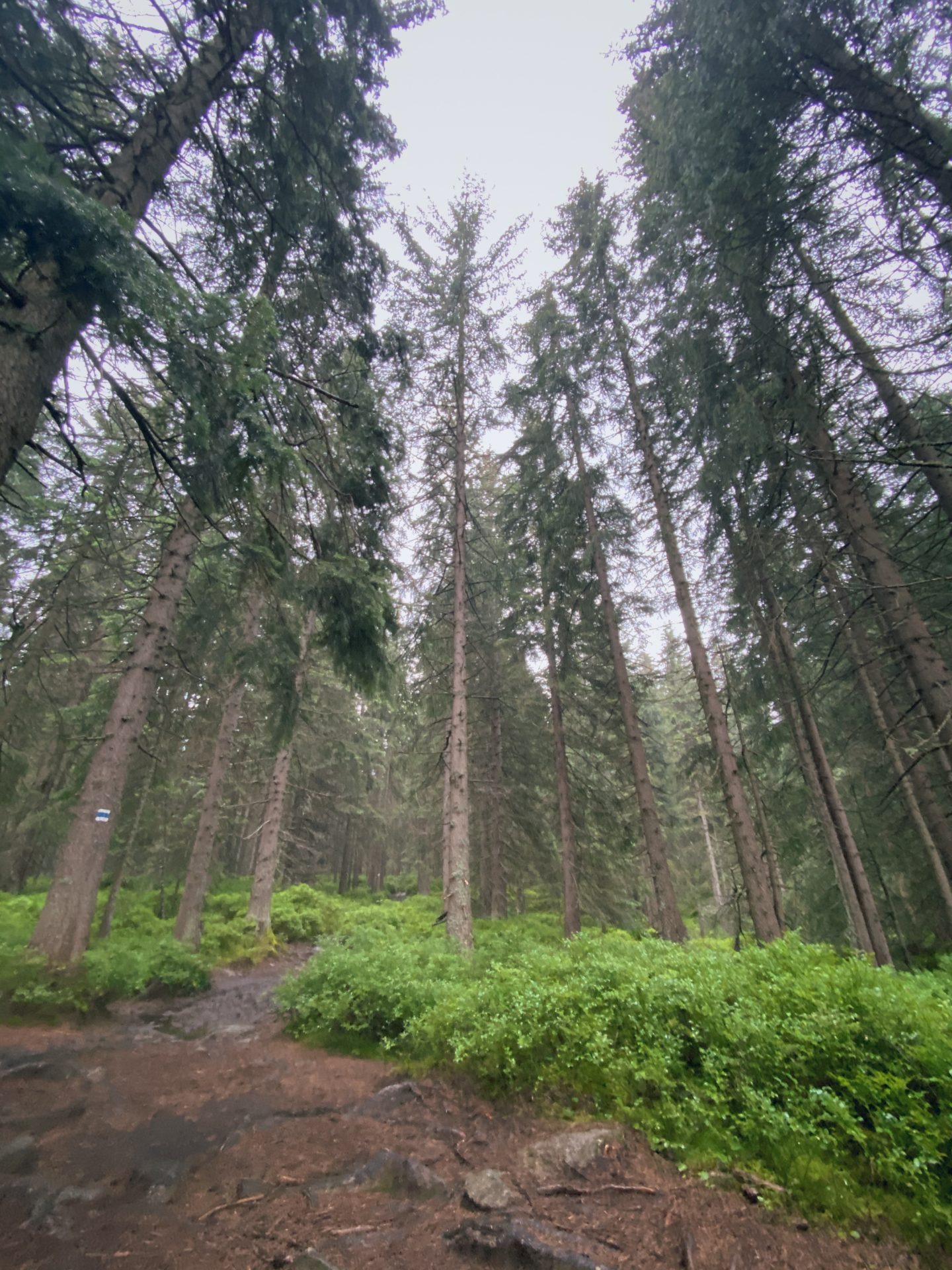
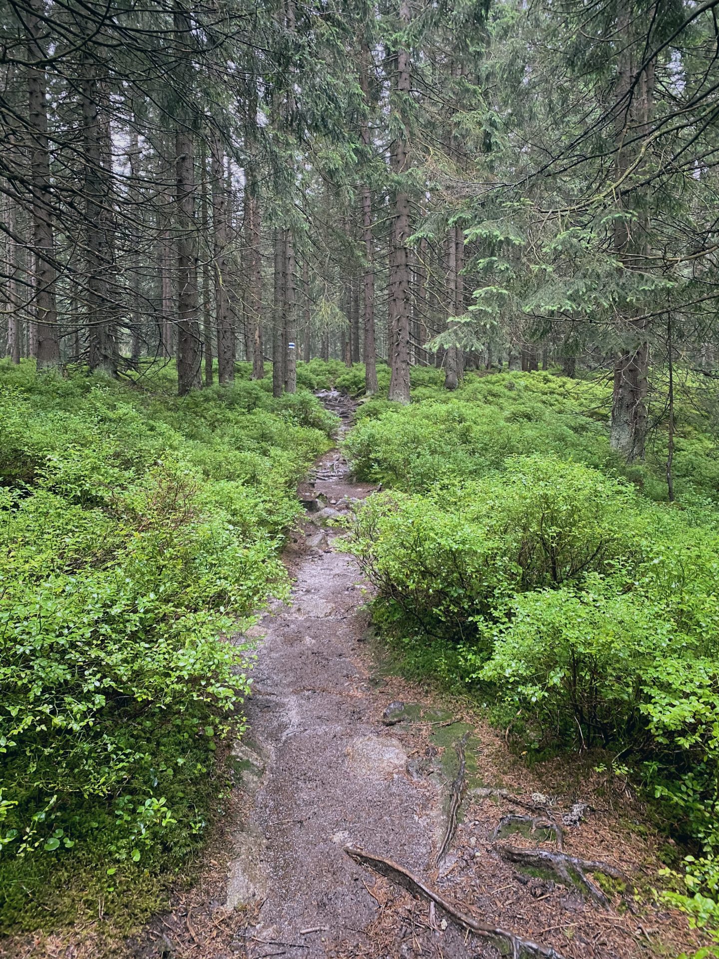
Thankfully the rain stopped and we could dry a little as we continued. Just in time before we entered my second favorite place of this hike, what I call the magic forest, as it appeared from nowhere and was beautiful.
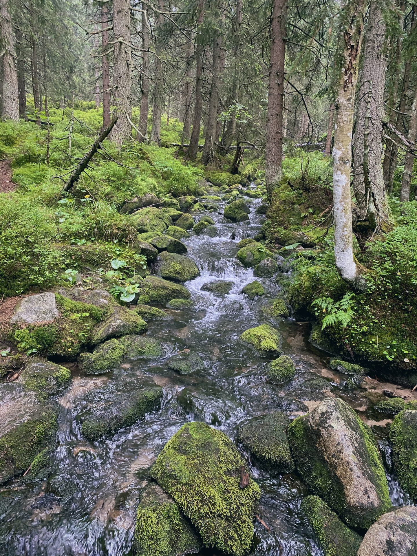
One of the positived of the rain was the strong streams we encountered. The water fresh and cold and the sound very relaxing.
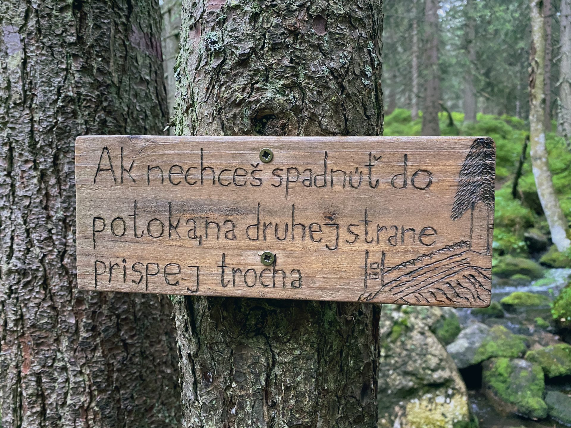
The small wooden bridge was a little sliperry (so watch your step).
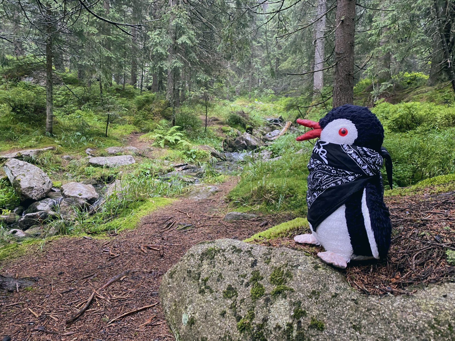
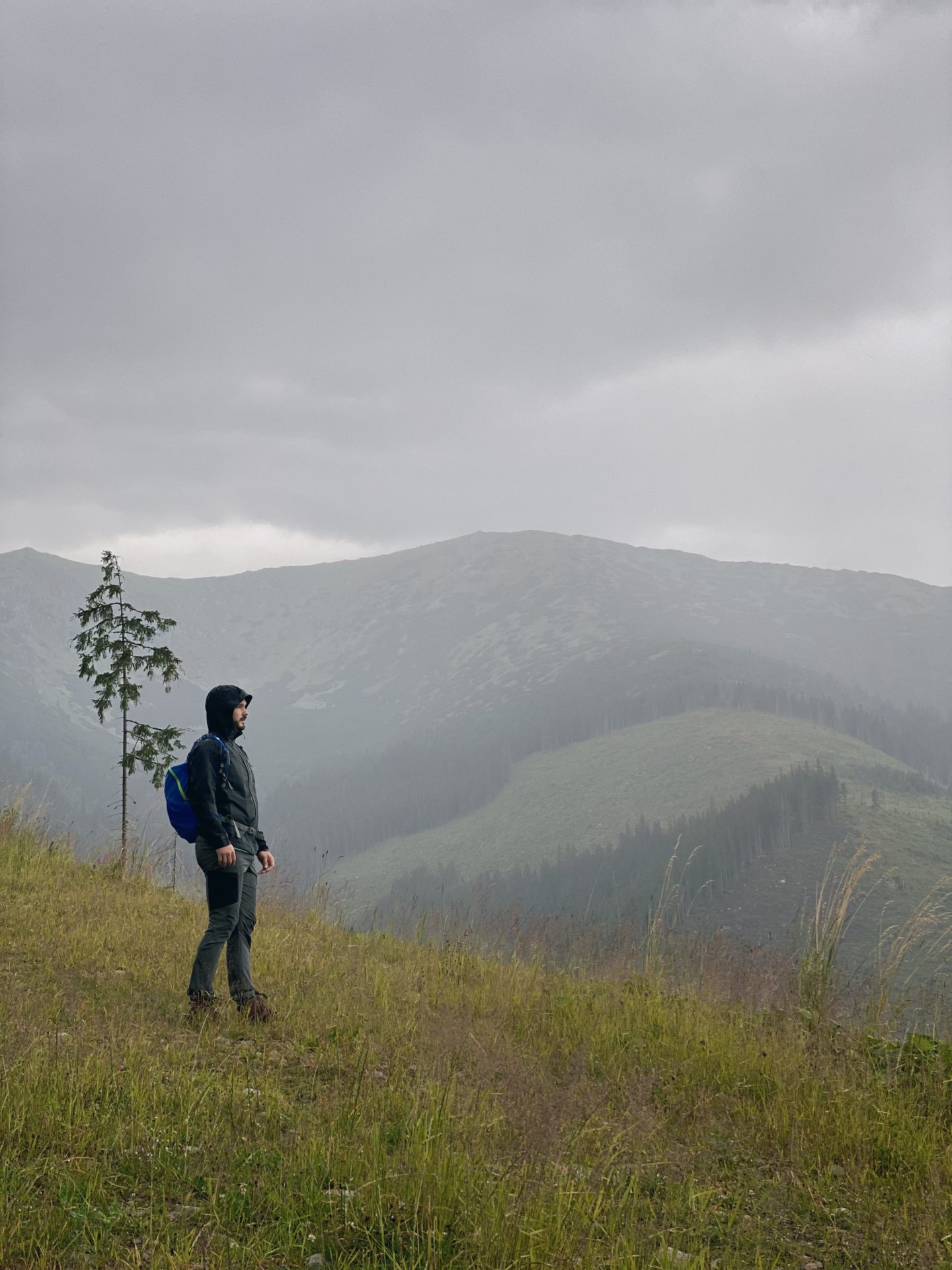
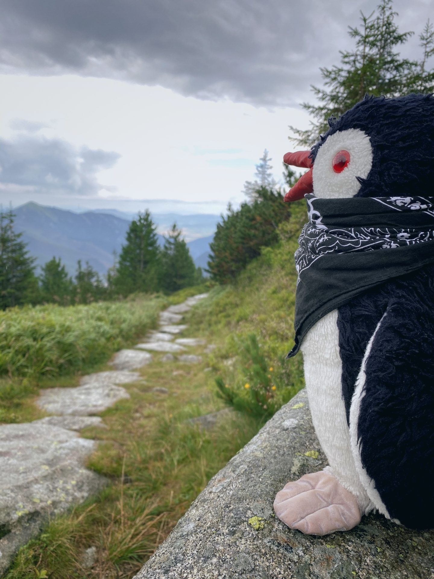
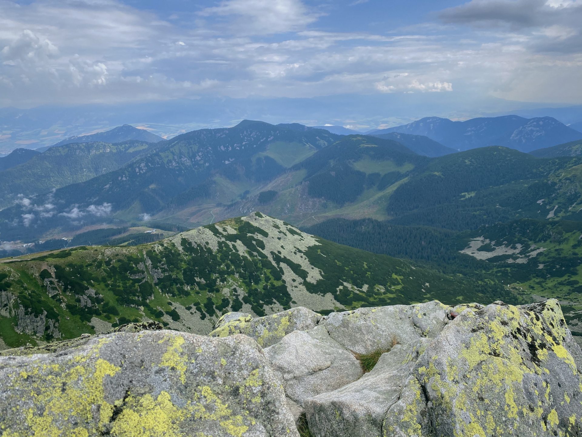
And just look at the nature and the views.
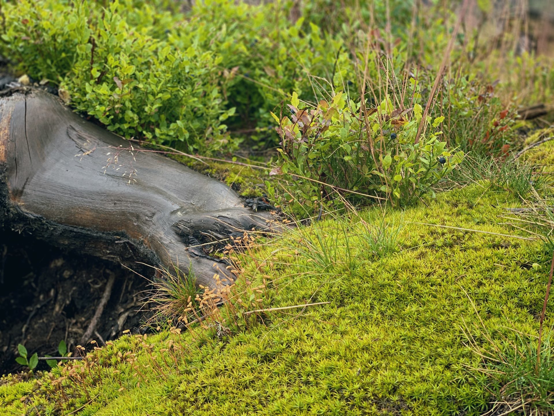
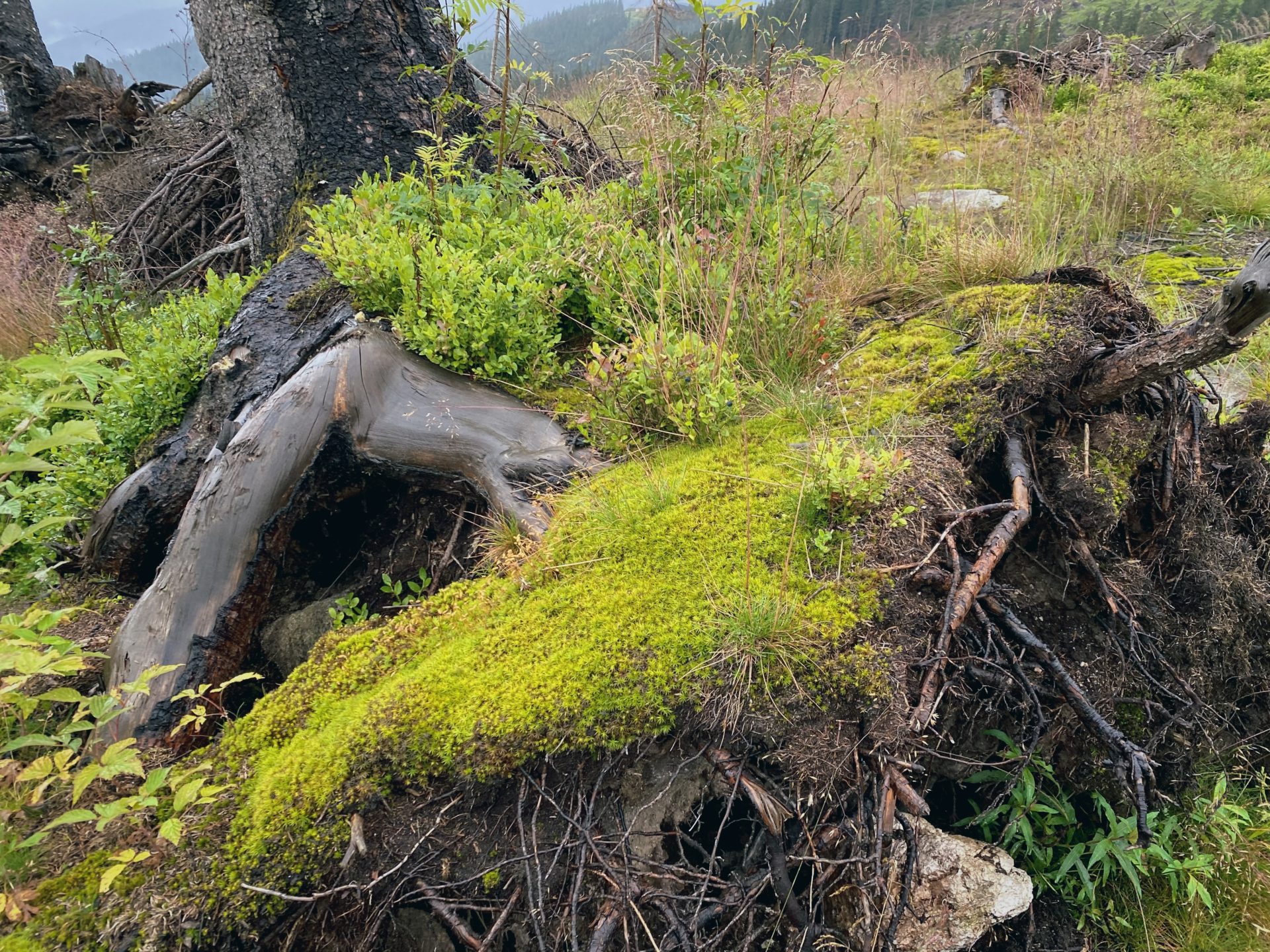
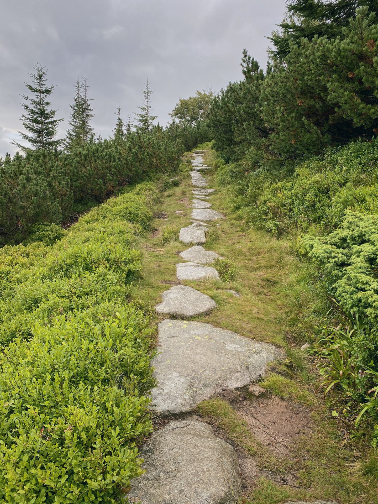
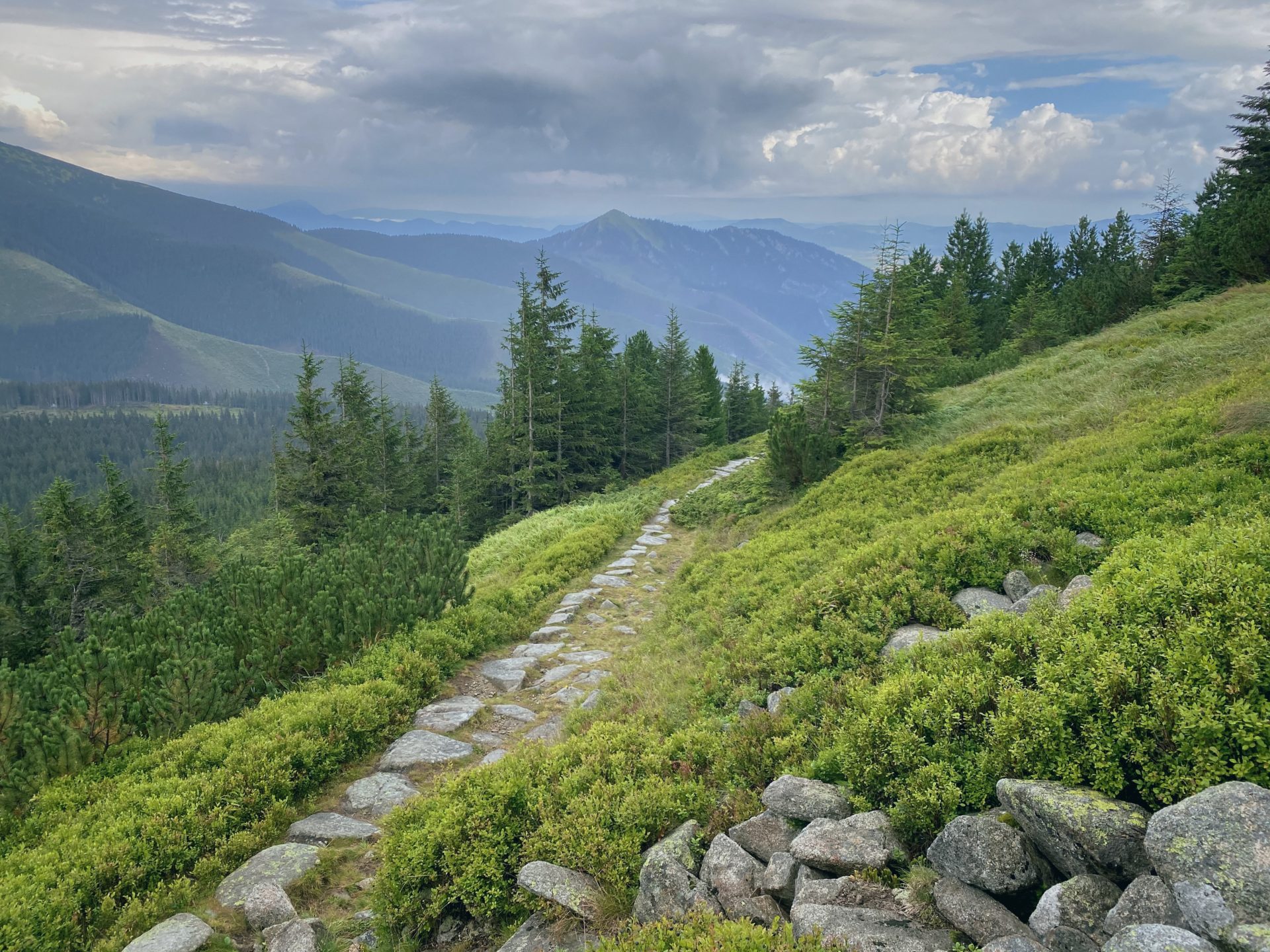
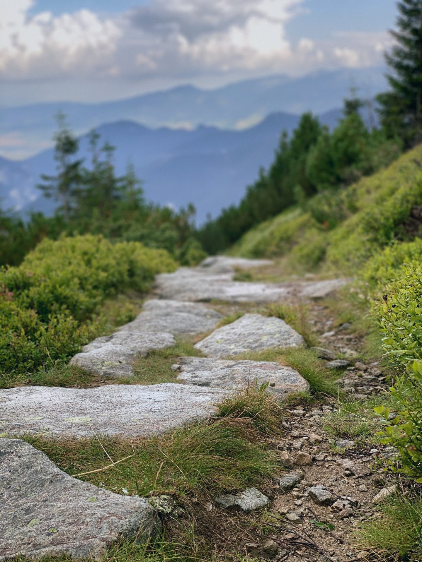
The higher you go the more beatiful pathways covered in stone await you. It gets also a little more dangerous as the stones can be slippery after the rain. So once again – watch your steps.
An interesting fact, if you are lucky, you will be able to see the native inhabitants of the majestic hill – chamois. Because they are shy, you really have to have luck on your side.
Our was not there, thus no chamois for us to see. Maybe next time.
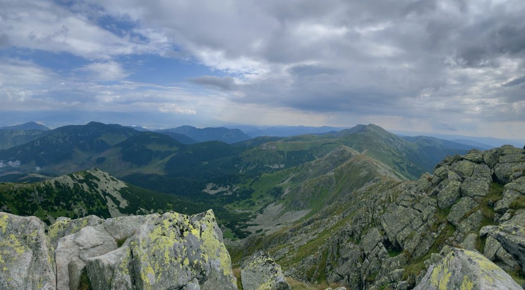
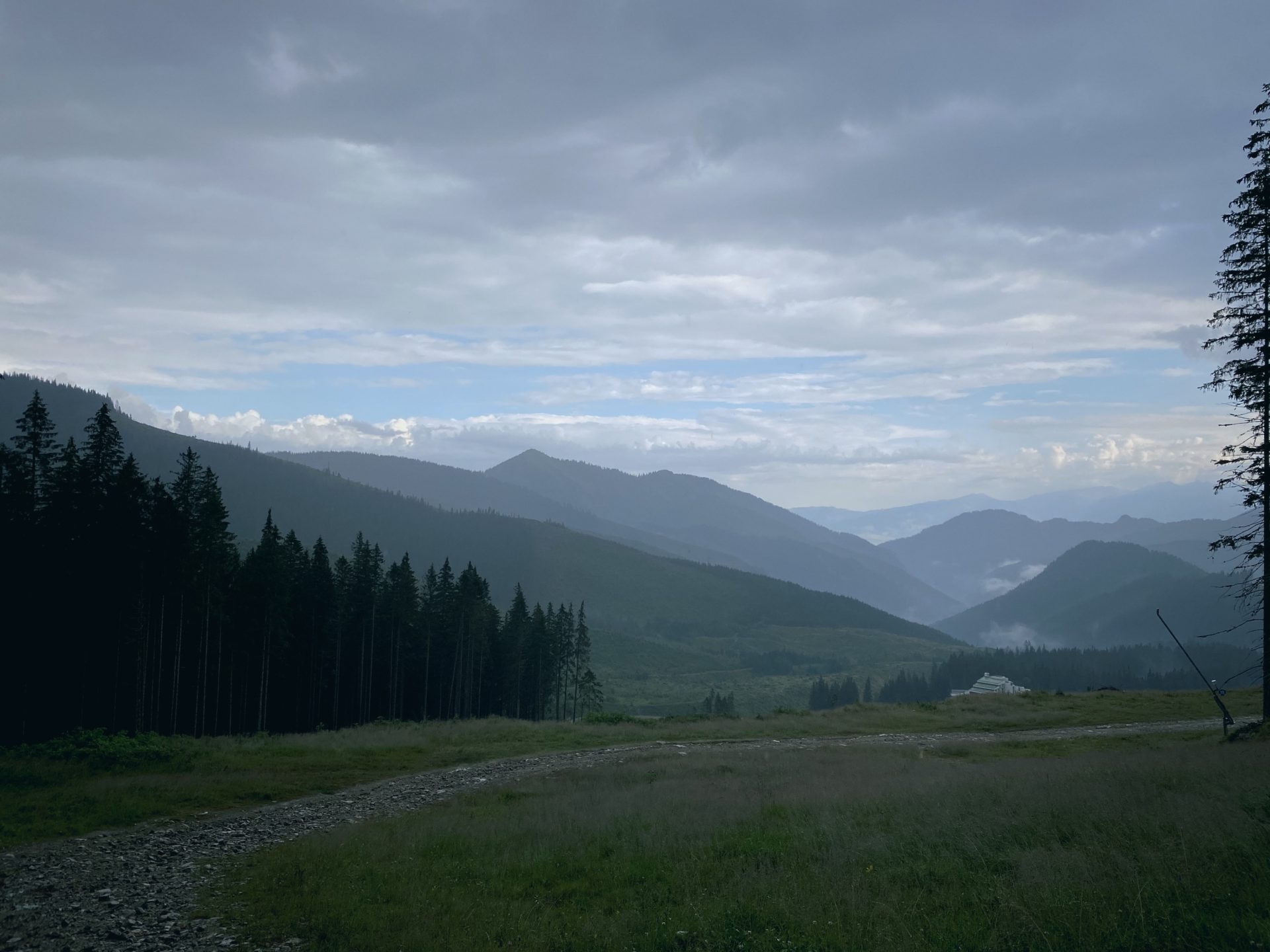
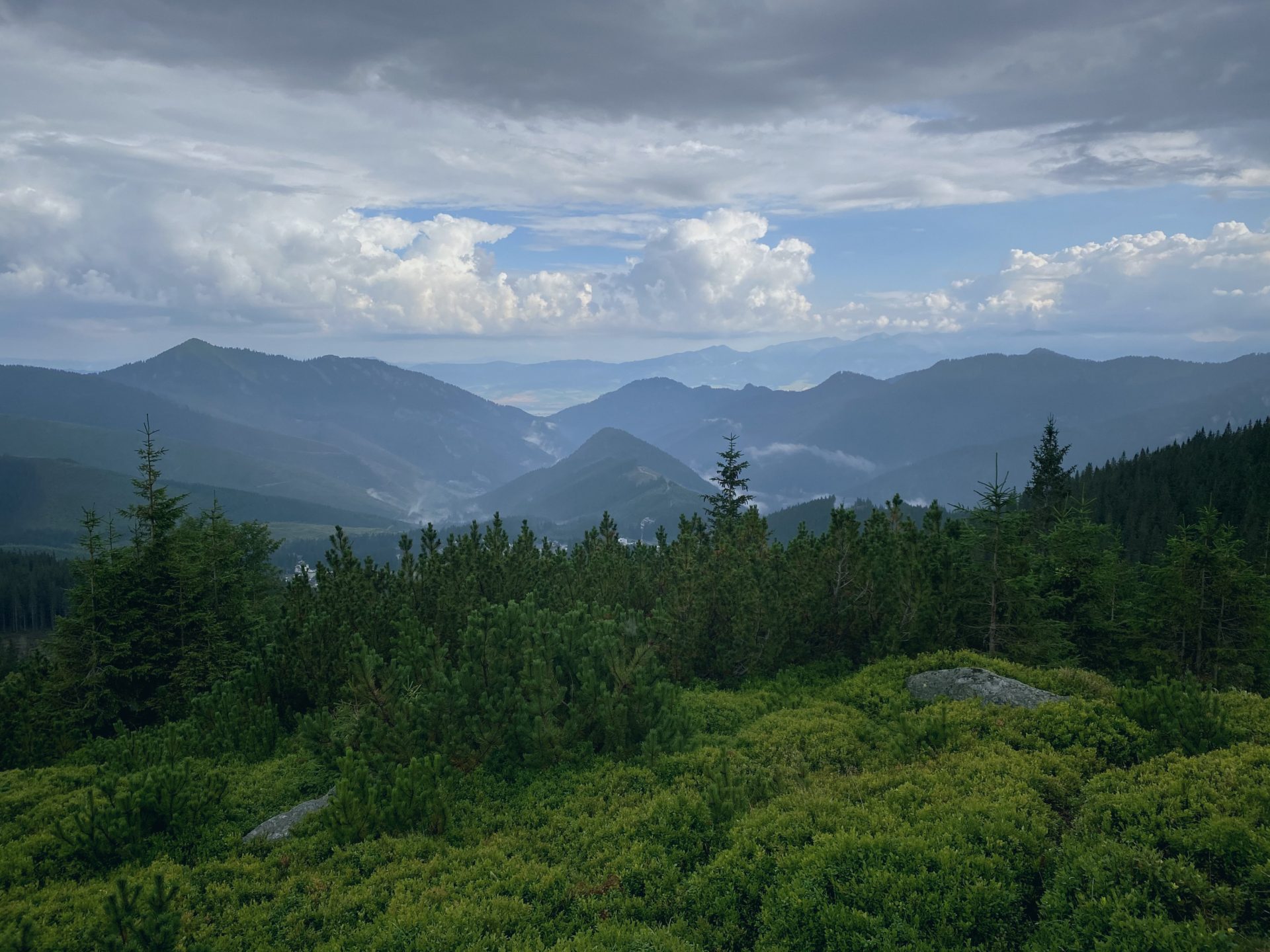
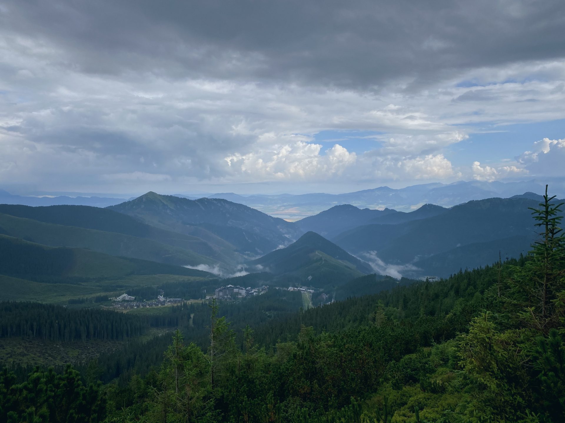
Waddling on, the excitment grew as from the top you can see half of Slovakia (or so legend says 😀 ).
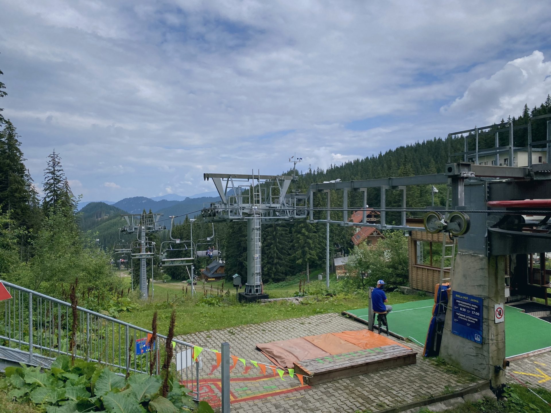
We took a break where the older cable car had its station and ate a few snacks and exchanged the shirts. More than half way up the hardest part only began and we could feel out legs already, little did we know how much more of a steep climp up there is before us and how desperation would whisper into out ears to turn around 😀
The break was short, but one cannot wait to dry off of we would not probably move along. With our sugar reserves filled the waddle continued with the top of the hill in front of us.
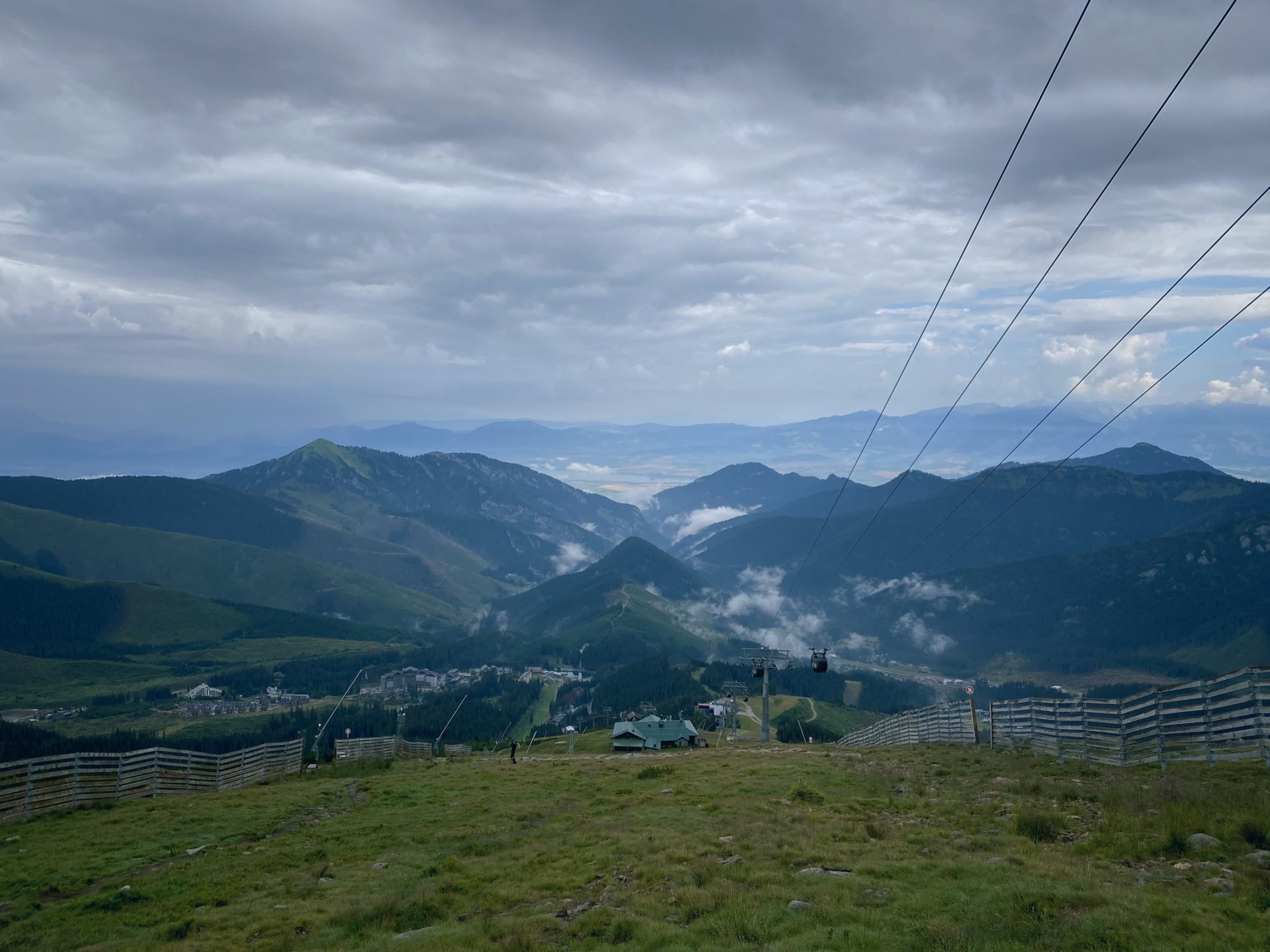
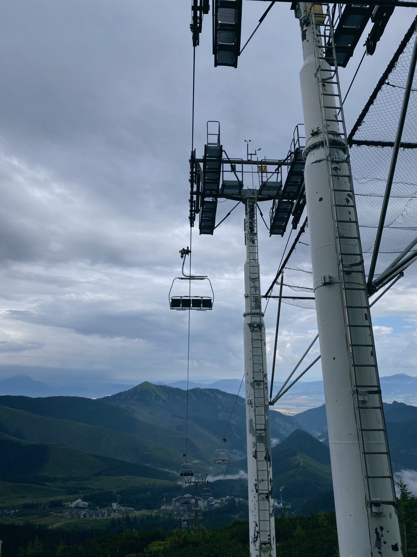
Somehwere at this point the cable car started to look really great and a heated discussion started about next time taking it.
The Path of the Heroes of SNP
The Path of the Heroes of the SNP is 760 km long and to conquer it takes about one month. It is the roughest hike in Slovakia and about 750 km (about 466 miles) long and marked in red color. Part of it you encounter on this waddle as well.
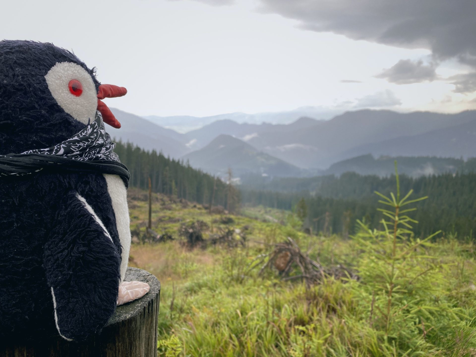
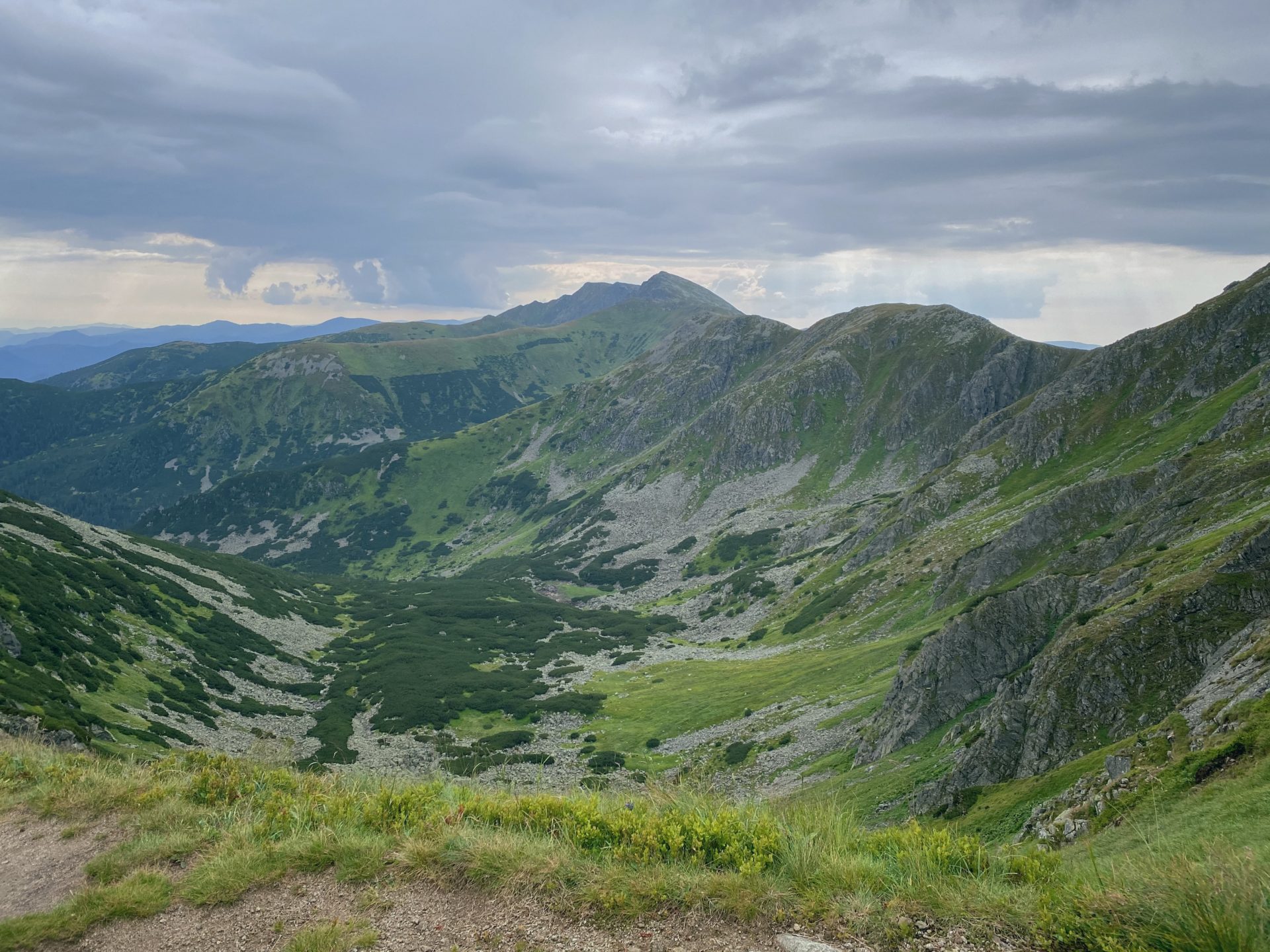
Soon as we continued waddling we were rewarded with a beautiful view of Ďumbier (2.043 m / 6.810 ft). It looked like a cut out right of a travel magazine.
The waddle continued after the short break of looking at Ďumbier. The goal in front of our eyes.
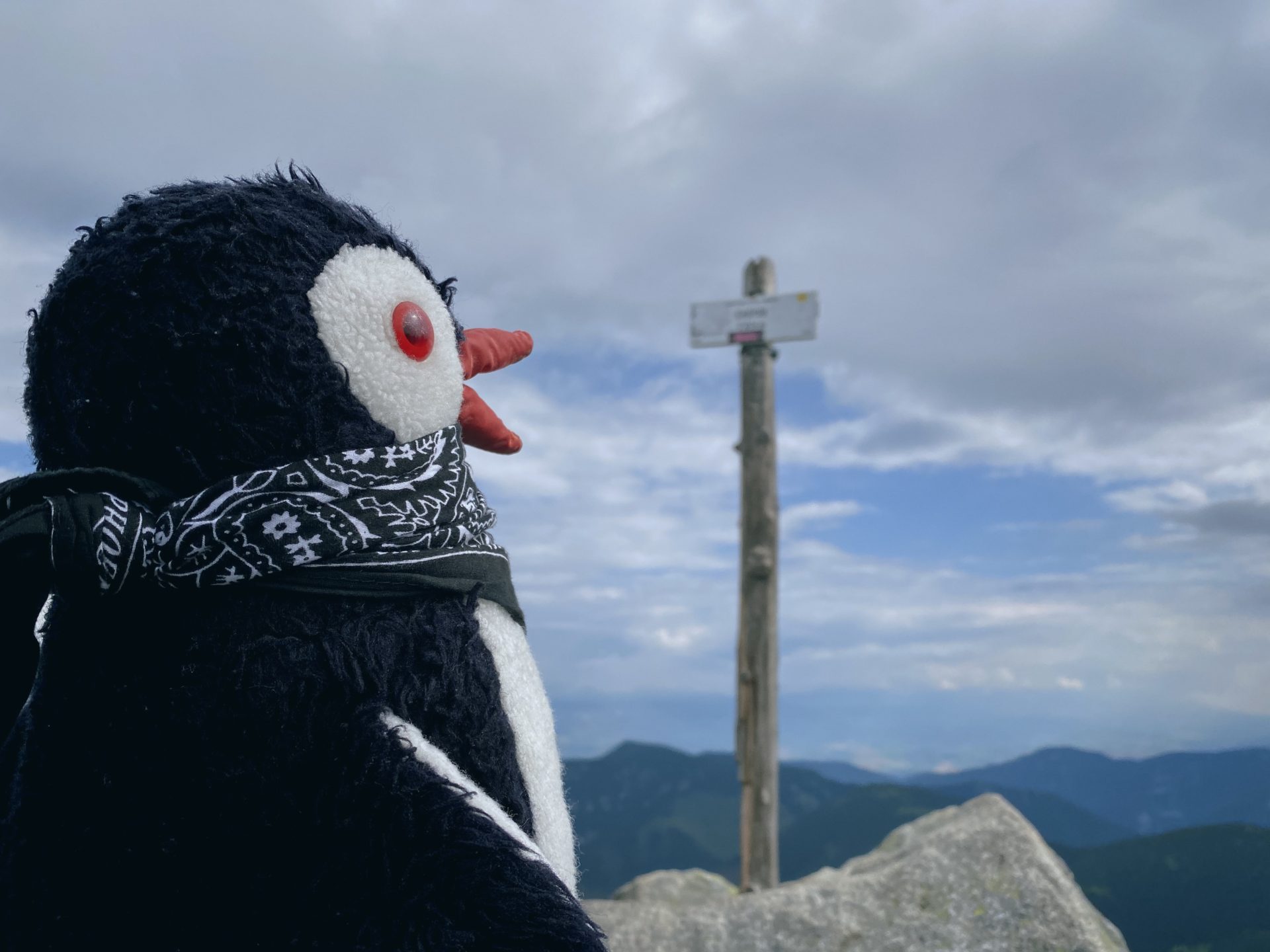
Chopok
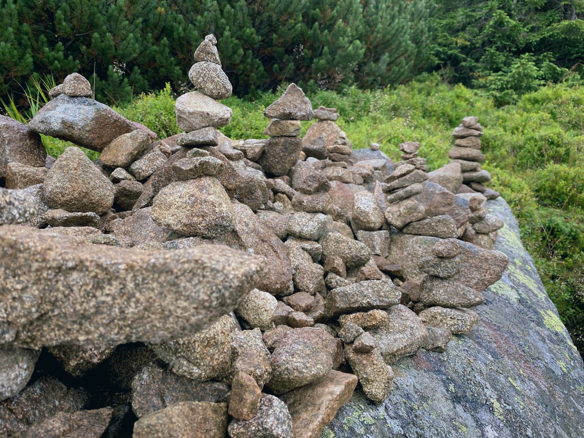
Finally, and I really mean finally we reached the top only to find out that it is not the actual top of Chopok. In reality the bunch of stones is the atual top of the hill. I mean, really? Really?
Meaning more waddling… no more comments needed here. Just make sure you are ready for this additional “hill” you have to climb.
Note: appropriate shoes are needed!
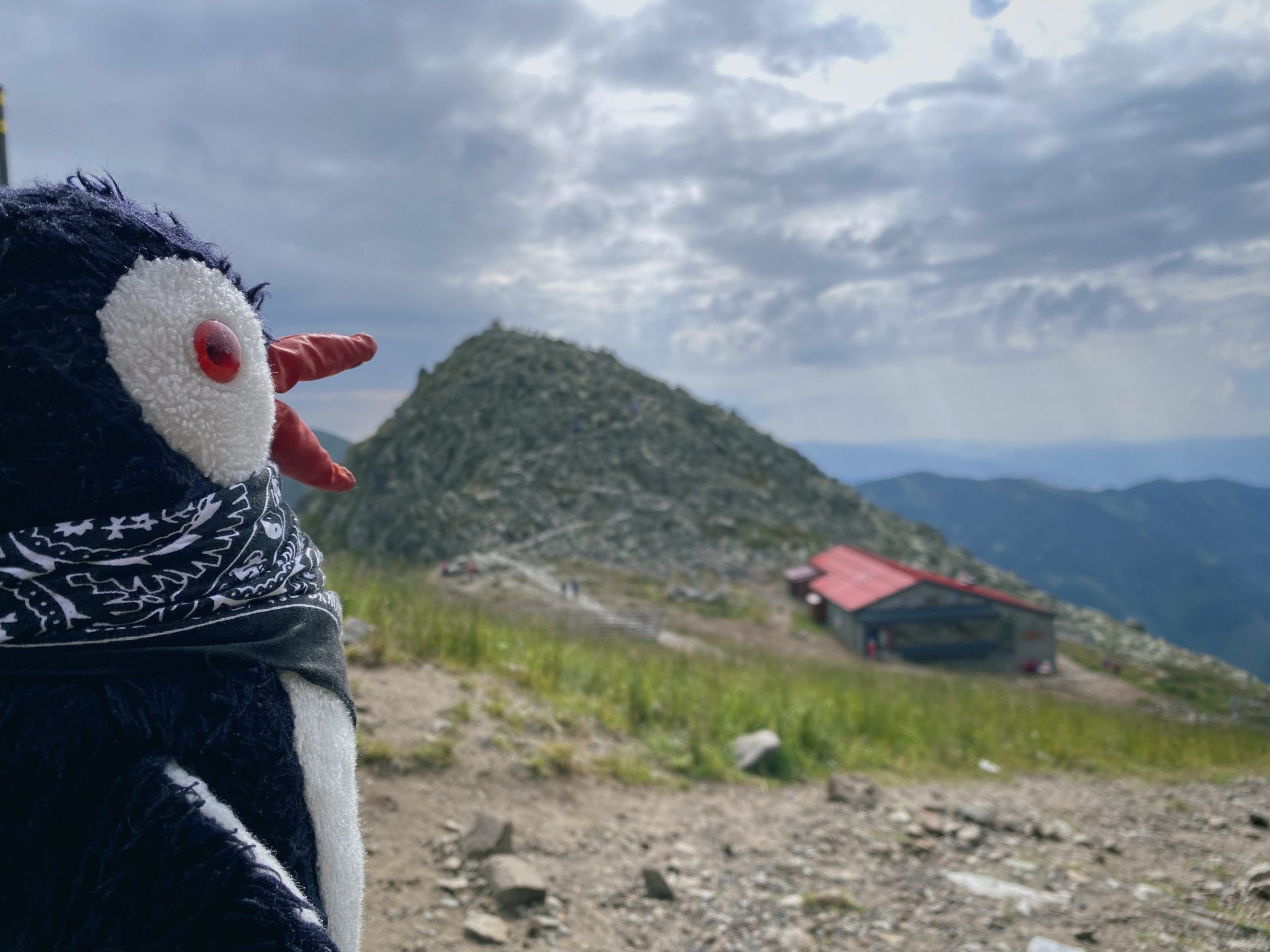
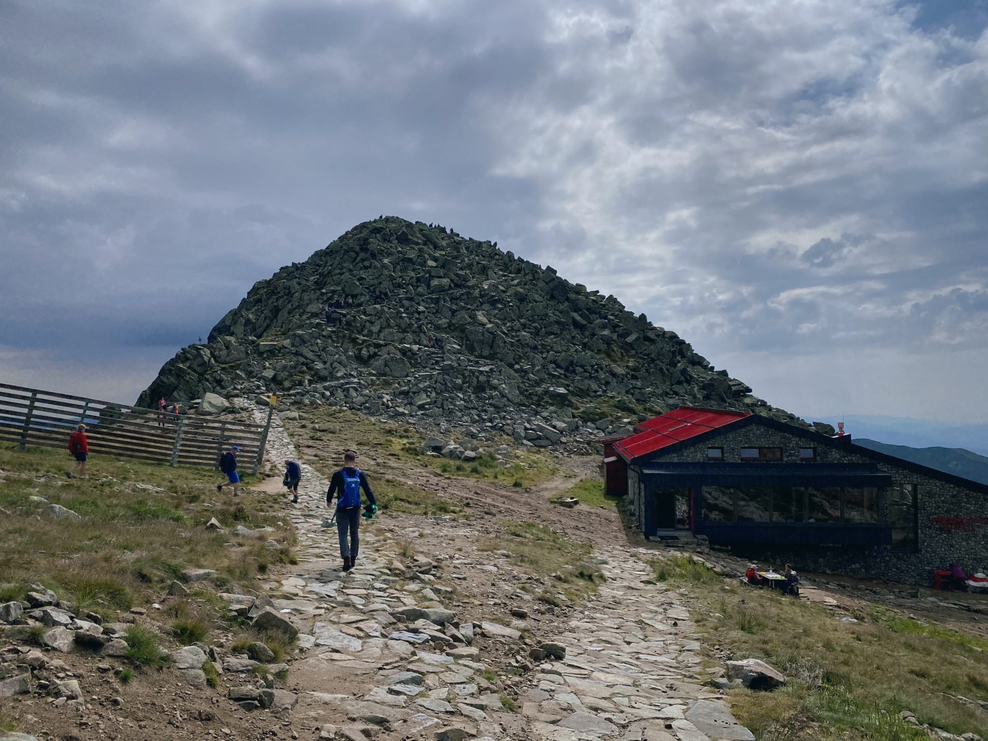
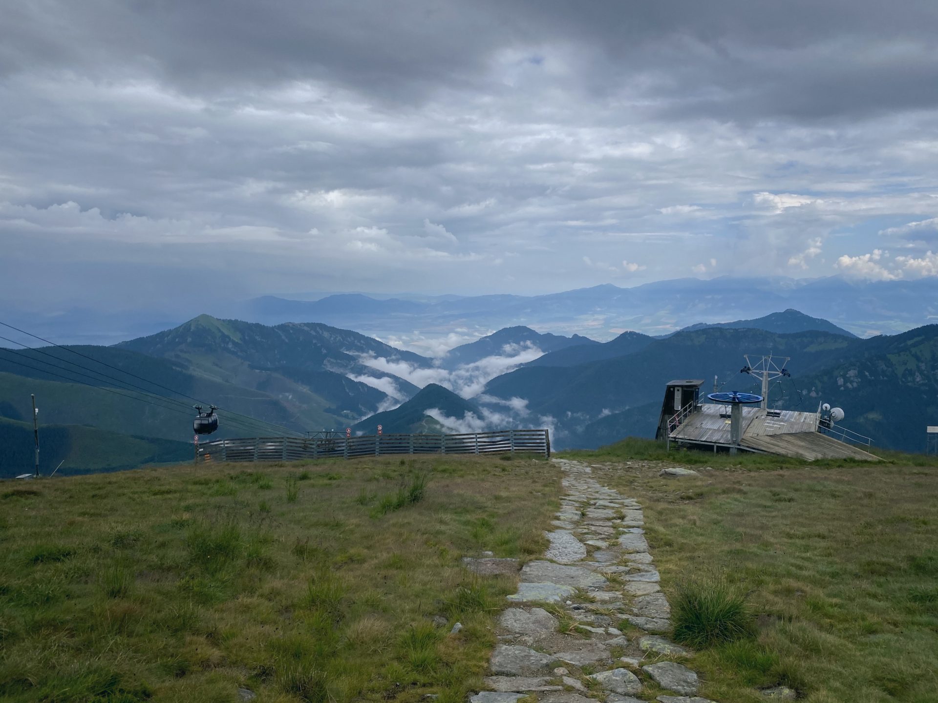
Alright, now, once again the top is here. We reached our goal and as expected the reward was the beautiful views.
At the top you can find the restaurant and coffe shop called Rotunda, which is also the highest station of the cable car. When you turn to the actual top of the hill, you will notice a cottage with a red roof it is called Stone cottage under Chopok and is the third highest mountain hut. It was built in 1950 and originally was used as a hostel for workers who worked here on the construction of cable cars. Later in the 70’s it functioned as a shelter for university students who were building sidewalks on the ridges of the Low Tatras. Since 1996 it s for all turists and currently can host 25 people. And it is also famous for its steamed bun filled with jam with vanilla pudding with chocolate and whipped cream.
We took a break at the terrace of the Rotunda, finished our snacks and beverages and even had one beer.
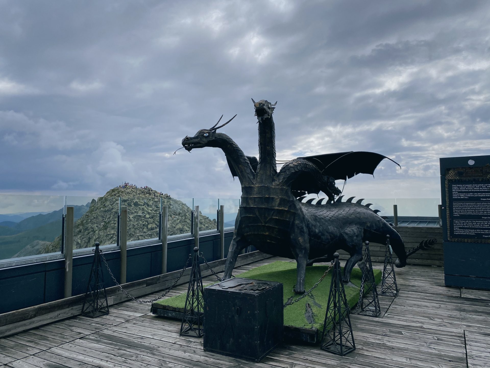
We chatted with the dragon named Demian there. He is the most powerful guardian of the Demänov treasures. He weights 1.5 tons and measures 3 meters (9.84 ft).
He has three heads and two of them proudly whip fire and steam, and in the throat of one there is a copper bell which can bring you luck when you ring it.
The dragon is inspired by an old Liptov legend. Demian lives on Chopok since 2014 when he was flown here by a helicopter.
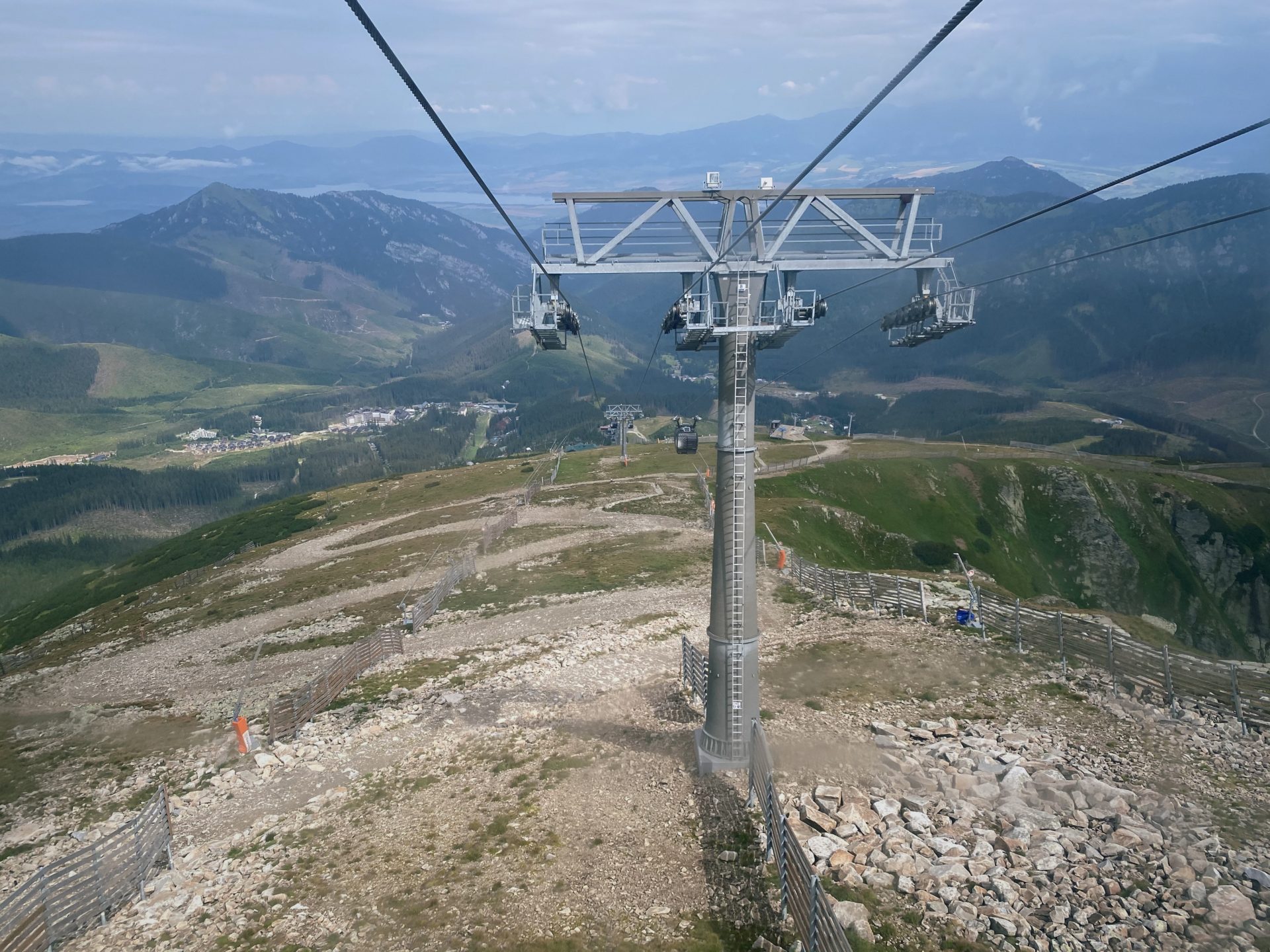
The way back we choose to take the cable car for two reasons – first, we were tired, second, because of the experience and it was a lot of fun.
You can buz the tickets directly int he mentioned Rotunda. For information on tickets and times click here link.
Enjoy your waddle when you go and don’t forget to wear proper shoes and clothing. With the mountains, one does never know.
Also say hi to the dragon Demian for me.