Practical Tips for Visiting Tjørnuvík: Parking, Transport, and Trail Access
The village of Tjørnuvík is the reason we booked our flight tickets to the Faroe Islands. It had been sitting on our bucket list for a while, but the moment we learned that Tjørnuvík inspired the city of Kattegat in Netflix’s Vikings, the decision was made. As fans of the show, we couldn’t resist the pull of seeing the real-life backdrop of those dramatic scenes, standing where the mountains meet the sea, in a place that feels as though it has sailed straight out of the saga. We also wanted to go on a group trip, and our friends found this spot on the bucket list. Ready to join our waddle to this epic village and see why it stole our hearts? In this guide, you’ll learn exactly where to park, how to get here, what to pack, and all the tips to make the most of your hike to Tjørnuvík. From navigating winding Faroese roads to finding the perfect cliffside viewpoint, we’ll walk you through every step so that you can focus on the adventure, not the logistics.


How to get to Tjørnuvík And Where To Park
Tjørnuvík sits at the very north of Streymoy, framed by mountains and a black-sand bay. There’s only one road leading here: Route 594, which winds from Haldórsvík along cliffs and through narrow passes. The drive itself feels like a preview of the village’s beauty, with views opening toward the ocean and the sea stacks of Risin and Kellingin. At the entrance to Tjørnuvík, you find a dedicated parking area for visitors. Cars are not allowed deeper into the village, so this is where you leave your vehicle before exploring. Although we researched parking and transportation options, this was not our starting point.
Pro penguin tip: the parking lot may look fairly big, but spaces are limited and fill up quickly. We arrived in the morning and managed to park, but by lunchtime it was completely full, and some cars that came down despite the traffic sign had nowhere to stop. At the top, near the traffic light, there’s even a sign indicating whether spaces are available — though not everyone respects it. To avoid the stress, plan to arrive as early in the day as possible.


We reached Tjørnuvík (or “Tortivnik,” as locals often pronounce it) with our rented car from the capital, Tórshavn. The drive is approximately 45 kilometers and takes around an hour, following scenic roads that wind through the mountains and along the coast. Just before descending into the village, there’s a traffic light system that regulates the final stretch of the road. Since the road is extremely narrow and only wide enough for one car at a time, the light turns green every five minutes to allow traffic in one direction to pass. You’ll find the same system at the bottom of the hill near the village parking lot, ensuring a safe and orderly flow of cars in and out of Tjørnuvík.


Facilities & Amenities in Tjørnuvík
- Public bathroom. Right next to the parking lot, clean and heated.
- Surf shack/surf school. Offering surfing and paddleboarding by the black-sand beach.
- Privat Kafé. Small local café serving waffles, tea, and coffee (cash only, DKK/EUR, seasonal opening).
- Parking lot. Limited spaces, with a sign at the top indicating availability.
- Village charm. No grocery stores or shops, just a quiet Faroese settlement with under 100 residents.


Local Legends of Tjørnuvík
Tjørnuvík’s dramatic bay comes with one of the Faroe Islands’ most famous legends, the tale of Risin og Kellingin (The Giant and the Witch). According to local lore, a giant and his wife sailed from Iceland to steal the Faroe Islands and bring them home. They tied ropes around the northernmost mountain of Eysturoy, intending to drag it away, but struggled through the night. As dawn broke, the first rays of sunlight turned them to stone, forever freezing them in the sea just off the coast. Today, the two towering sea stacks still stand guard offshore, visible from the beach in Tjørnuvík, a reminder of the myths that shape the Faroese landscape.


Exploring Tjørnuvík
When we planned to explore Tjørnuvík, we initially intended to tackle the full-day hike from Saksun down to Tjørnuvík and back. However, with the weather looking uncertain and memories of getting soaked on a previous hike still fresh, we decided not to take the risk. Also, one member of the group was sick. Instead, we opted for a more relaxed visit: enjoying the stunning views, starting a short hike directly from the village, and wandering around Tjørnuvík itself. This way, we still soaked in the dramatic scenery and charm of the town without worrying about the shifting weather.
Our Waddle Around Tjørnuvík
- Waddle Duration: 2 hours 25 minutes (including photo stops)
- Starting Point: Tjørnuvík
- Distance: 3.18km (1.97 miles)
- Elevation Gain: 158 m (518 ft)
- Difficulty: moderate
- Route: Tjørnuvík
- Parking / Access Fee: free
- Map: link
- Public Transport: Bus from Tórshavn to Tjørnuvík (limited schedule; may require changes)
- Things to See: Tjørnuvík, black sand beach, views of the Risin og Kellingin sea stacks on clear days, traditional Faroese village
Tjørnuvík From Above
We decided not to push for a big adventure but instead to enjoy a smaller one, more of a waddle than a hike. From the parking lot, we followed the official trail that eventually led all the way to Saksun, but our goal was to climb just above the village. It didn’t take long before we were rewarded with breathtaking views over the colorful houses, black-sand beach, and the dramatic cliffs wrapping around Tjørnuvík. Even this short stretch felt special, a reminder that sometimes you don’t need to go far to find the most memorable perspectives.


Waddling through Tjørnuvík itself felt incredibly serene, almost like stepping back in time. The village was quiet and calm, with only the sound of waves rolling onto the black-sand beach. One of the most fascinating sights was seeing fish hung outside to dry in the open air, a tradition that has been part of Faroese life for centuries. Known locally as ræst fiskur, this method utilizes the salty sea breeze to naturally cure the fish, imparting a distinct flavor that is considered a staple of Faroese cuisine.
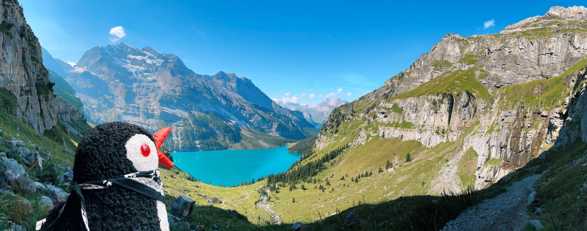
The higher we climbed above Tjørnuvík, the more spectacular the views became. Every few steps revealed a wider panorama: the village below grew smaller, the black-sand beach stretched out, and the rugged cliffs rose proudly around the bay. We decided to stop at a natural viewpoint before the trail curved away, as beyond that point, the scenery would no longer open up toward the village. There, we took a well-earned break, sipped our coffee, and let the stunning landscape sink in. It was the perfect spot to pause and appreciate the raw beauty of Tjørnuvík.


Waddling Along Bakkagøta: A Cliffside Stroll in Tjørnuvík
After our break above the village, we slowly descended back down to Tjørnuvík and decided to stretch our legs with another waddle, this time along a single street called Bakkagøta, which hugs the cliffs just beside the village. It’s a very short yet atmospheric track of only about 0.11 km, offering a serene coastal route where you can pause to admire the dramatic drop to the ocean below. As we meandered along the cliffs, the view shifted beautifully, new angles on the black-sand beach, the scattered houses, and the sweeping sea beyond. It felt like seeing the village from a completely different, equally stunning perspective.


Facts About Tjørnuvík
- Location. Northern tip of Streymoy Island, Faroe Islands.
- Population. Around 50 inhabitants.
- Historical Significance. One of the oldest settlements in the Faroe Islands, with archaeological evidence of Viking-era graves discovered in the area.
- Year Established. Although the exact founding date is unknown, settlement traces date back over 1,000 years.
- Name Meaning. “Tjørnuvík” translates to “pond bay” or “lagoon bay” in Faroese.
- Unique Feature. Known for its black-sand beach, a rarity in the Faroe Islands.
- Community Life. Still maintains a close-knit, traditional village atmosphere despite being a popular stop for hikers and surfers.
- Events. Hosts small local gatherings and participates in hiking routes that connect to Saksun.
The Black-Sand Beach of Tjørnuvík
After our stroll along Bakkagøta, we waddled down to explore one of Tjørnuvík’s most striking features, its black-sand beach. This dramatic stretch of dark volcanic sand was formed thousands of years ago by eruptions that left behind basalt rock, which over time was ground down by the relentless waves of the North Atlantic. Today, it’s one of the few accessible black beaches in the Faroe Islands. It is open to the public, making it a popular spot not only for travelers but also for locals who come here to surf or enjoy the natural beauty. The beach offers incredible views toward the sea stacks Risin and Kellingin, and on calm days, the reflections in the wet sand create a magical mirror effect. We took our time waddling across the soft black grains, listening to the roar of the waves, and appreciating how this natural wonder makes Tjørnuvík feel both wild and peaceful at the same time.


Tjørnuvík left us with a lasting sense of calm and wonder. The combination of its dramatic setting, the black-sand beach, the surrounding cliffs, and the quiet rhythm of village life makes it one of the most memorable places to visit in the Faroe Islands. It’s a destination where time seems to slow down, inviting you to simply breathe, look around, and take it all in. We highly recommend adding Tjørnuvík to your journey, whether for a short stop or a longer wander, because the serenity and beauty you’ll find here stay with you long after you leave.


Hiking Possibilities Around Tjørnuvík
For those who love exploring on foot, Tjørnuvík is not only a destination but also a starting or ending point for some remarkable hikes. Although our initial plans changed and we didn’t do the hike, here is all the information you need to do it.
Hiking From Saksun-Tjørnuvík Trail
The Saksun–Tjørnuvík trail is one of the classic village-to-village hikes in the Faroe Islands, offering breathtaking scenery and a chance to follow an old path once used by locals. Starting in Saksun, the trail climbs steadily out of the valley before crossing open ridges and descending toward the dramatic black-sand bay of Tjørnuvík. Along the way, you’ll pass sweeping mountain views, ocean panoramas, and a landscape that feels unchanged for centuries.

Key Details for the Saksun–Tjørnuvík Hike:
- Distance: ~7 km (4.3 miles) one way
- Time: 2.5–3 hours one way, 5–6 hours round trip
- Elevation Change: 450–500 m (1,476–1,640 ft)
- Fee: 75 DKK per person, payable in Saksun (covers access/parking)
- Route Options: Many hikers do it one way (Saksun → Tjørnuvík) and arrange pickup or take the bus back
- Best Season: Late May–early September for longer daylight, clearer trails, and milder weather
Starting in Saksun is considered the most rewarding direction, as the climb out of the village gradually opens into sweeping views before the grand finale, descending toward Tjørnuvík with its dramatic cliffs and iconic black beach coming into sight. It’s a hike that combines natural beauty, cultural history, and the thrill of arriving in one of the Faroe Islands’ most picturesque villages.
Hiking from Tjørnuvík to Mýlingur
The hike from Tjørnuvík to Mýlingur is one of the most breathtaking adventures you can do from the village, leading you to the northernmost peak of Streymoy. Rising high above the Atlantic, Mýlingur offers sweeping views toward the famous sea stacks Risin and Kellingin, the island of Eysturoy, and, on a clear day, even as far as Kalsoy. The route is challenging but incredibly rewarding, as you climb from the quiet village of Tjørnuvík up into raw mountain landscapes before standing at one of the most dramatic viewpoints in the Faroe Islands.


Key Details for the Tjørnuvík–Mýlingur Hike:
- Distance: ~7–8 km (4.3–5 miles) one way
- Time: 3–3.5 hours one way, 6–7 hours round trip
- Elevation Change: ~600 m (1,970 ft) from sea level to the summit
- Fee: Currently no access fee, but the trail crosses private land, so always respect local guidelines
- Route Options: Out-and-back hike from Tjørnuvík, starting near the parking area; requires good fitness and preparation
- Best Season: Late May–early September for safer footing, longer days, and clearer views
The trail is steep and can be muddy in parts, but the payoff is spectacular. From the summit ridge, the cliffs drop sharply into the ocean, and the views of the sea stacks Risin and Kellingin from above are unforgettable. This hike is less frequented than the Saksun–Tjørnuvík trail, which makes reaching Mýlingur feel like discovering one of the Faroe Islands’ wildest corners. It’s a challenging waddle, but for those prepared, it’s an absolute highlight.
No matter whether you choose the historic trail from Saksun to Tjørnuvík or set off from the village itself toward the dramatic heights of Mýlingur, your time here will leave you with memories you won’t soon forget. The cliffs are nothing short of breathtaking, the views stretch endlessly across sea and mountains, and every moment feels like stepping into a postcard. Tjørnuvík truly offers some of the Faroe Islands’ most unforgettable experiences, and we hope this blog post helps you plan your own adventure to this remarkable corner of the islands.
Pack your bag, put on your waddling shoes, and explore Tjørnuvík!

This post contains affiliate links. If you click and buy, I might earn a tiny commission, enough to help a penguin keep up its globe-trotting lifestyle. No extra cost to you, just more fish for me. Thank you for supporting the adventure!
1 thought on “Exploring Tjørnuvík in Faroe Islands Travel Guide”
Comments are closed.