
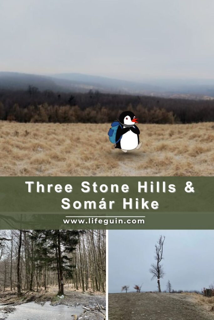
Hiking Three Stone Hills and Somár: A Scenic Waddle in the Little Carpathians
No weather can stop us from hiking, although we will admit we cannot wait for proper sunshine again. This adventure took us along a brand-new route we had not waddled before, starting in the village of Limbach and leading all the way to the highest hill in the southwestern part of the Little Carpathians. Its name always makes us smile. In Slovak, Somár means “donkey,” and despite the playful name, the hike offers a rewarding and scenic journey through quiet forest trails and peaceful nature.

How to Get to Limbach
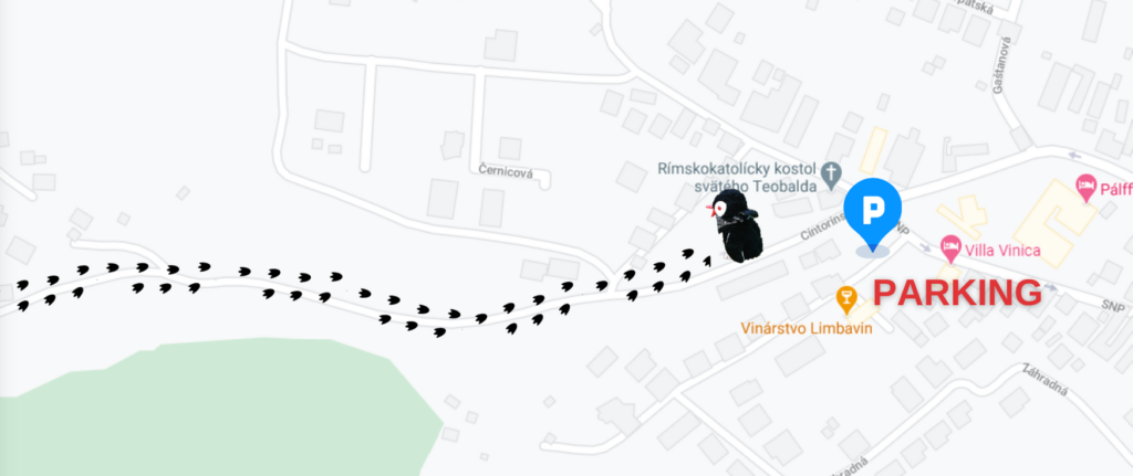
Getting to Limbach is easy, which is one of the reasons this hike is so popular. You can waddle up on foot, arrive by bike, or even enjoy the area on cross-country skis in winter. If you are coming by car, there is a small parking area opposite the church in Limbach. Parking space is limited to just a few cars, so arriving earlier in the day is highly recommended, especially on weekends. Public transport is also a convenient option, with regular bus connections from nearby towns and Bratislava, making Limbach an accessible starting point even if you are hiking without a car.
You can take bus 531 from Bratislava to Limbach (Limbach, Cintorín). This route runs from stops like Bratislava Nám. A. Hlinku and Bratislava Vajnorský potok toward Limbach on weekdays, operated by Arriva and stopping in towns like Svätý Jur along the way. Another option is bus 521 from Pezinok to Limbach. If you’re coming via train from Bratislava to Pezinok, you can transfer to this bus for the final leg to Limbach.
Both services stop at several points in Limbach (like Limbach, Slnečná, and Limbach, Mlynské pole), making it easy to reach the village center and start your hike.
We arrived by car early in the morning and parked opposite the church in Limbach. There is only a small parking area with space for a few cars, so getting there early made everything much easier and gave us a quiet start to the hike before the trails became busier.
Our Waddle
- Waddle duration: 3 hours and 18 minutes
- Distance: 14,20 km (8,80 miles)
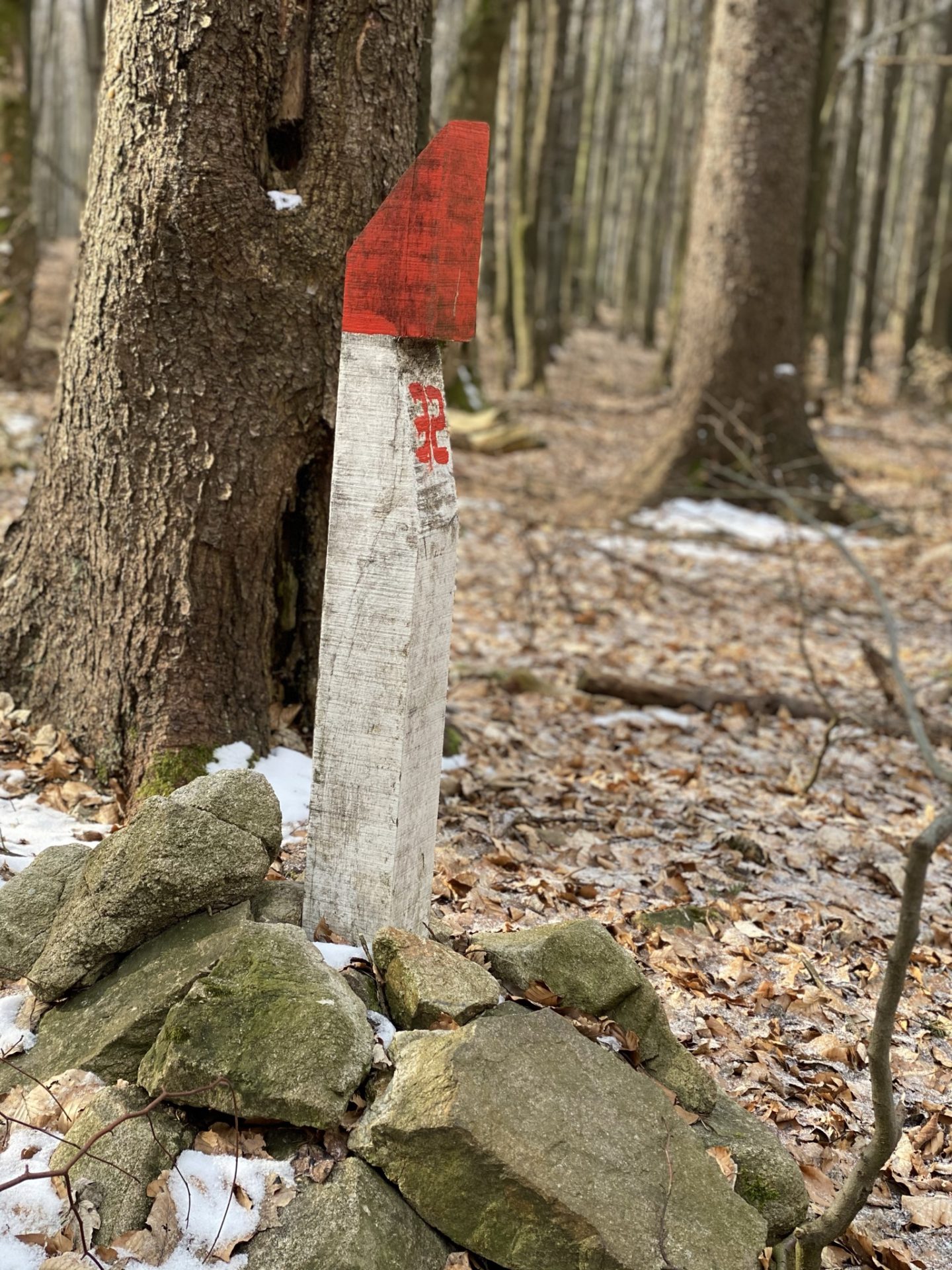
- Route: Blue&Yellow & Red
- Map: link
- Difficulty: moderate
- Things to see: Konský vrch (491 m), Kamenný vrch (575 m), Somár Summit (649 m)

The Waddle Toward Somár
The hill rises to an altitude of 649 meters above sea level and sits right on the main ridge of the Little Carpathians. The hike itself is relatively easy and suitable for most hikers, including beginners. During the summer, it is especially popular with families, and children are often seen making their way up the trail.
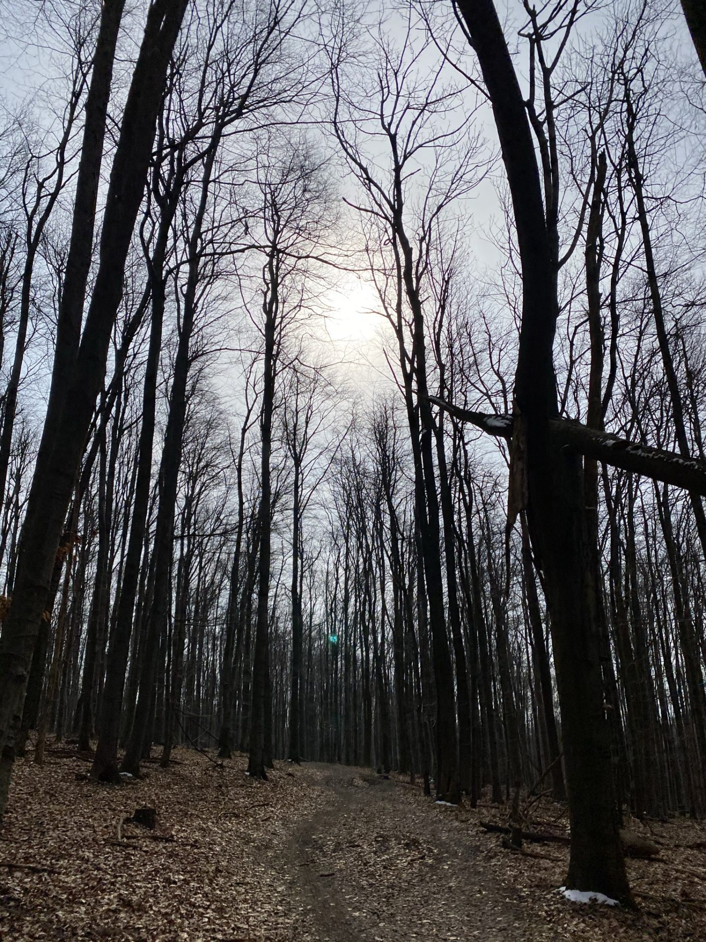
From the parking area, we started our waddle along the blue-marked trail. The route first led us through the edge of the village, passing a few houses and quiet streets before slowly transitioning onto a forest path. The shift from village life to nature felt gentle and unhurried. Not long after entering the forest, the trail opened into a meadow, offering a pleasant pause and our first wider views before continuing deeper into the hike.
Coming early in the morning has its perks, and this hike proved it right away. The sunrise put on a beautiful show, with soft light slowly spilling over the landscape and setting a calm tone for the day. Even better, we had the trail almost entirely to ourselves for a long stretch. For a long time, it was just us, the quiet forest, and the sound of our steps, before we eventually crossed paths with a single runner and later a fellow hiker. If you are hoping for solitude and a peaceful start, setting your alarm early is well worth it.
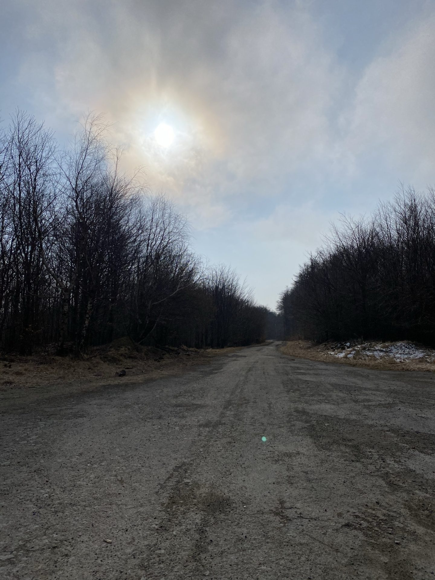
As we waddled on, it grew colder with every bit of elevation we gained. That is one small downside of starting early, as the sun is still slowly waking up, but nothing that cannot be solved with warm layers. In some shaded sections, patches of snow still clung, reminding us that winter had not fully let go yet.
Along the way, we reached another meadow called Šenkárka. It is a pleasant spot to slow down and catch your breath, with a simple shelter where you can rest for a while. There is also a small cottage nearby, though it was closed during our visit, which added to the place’s quiet, peaceful feel.
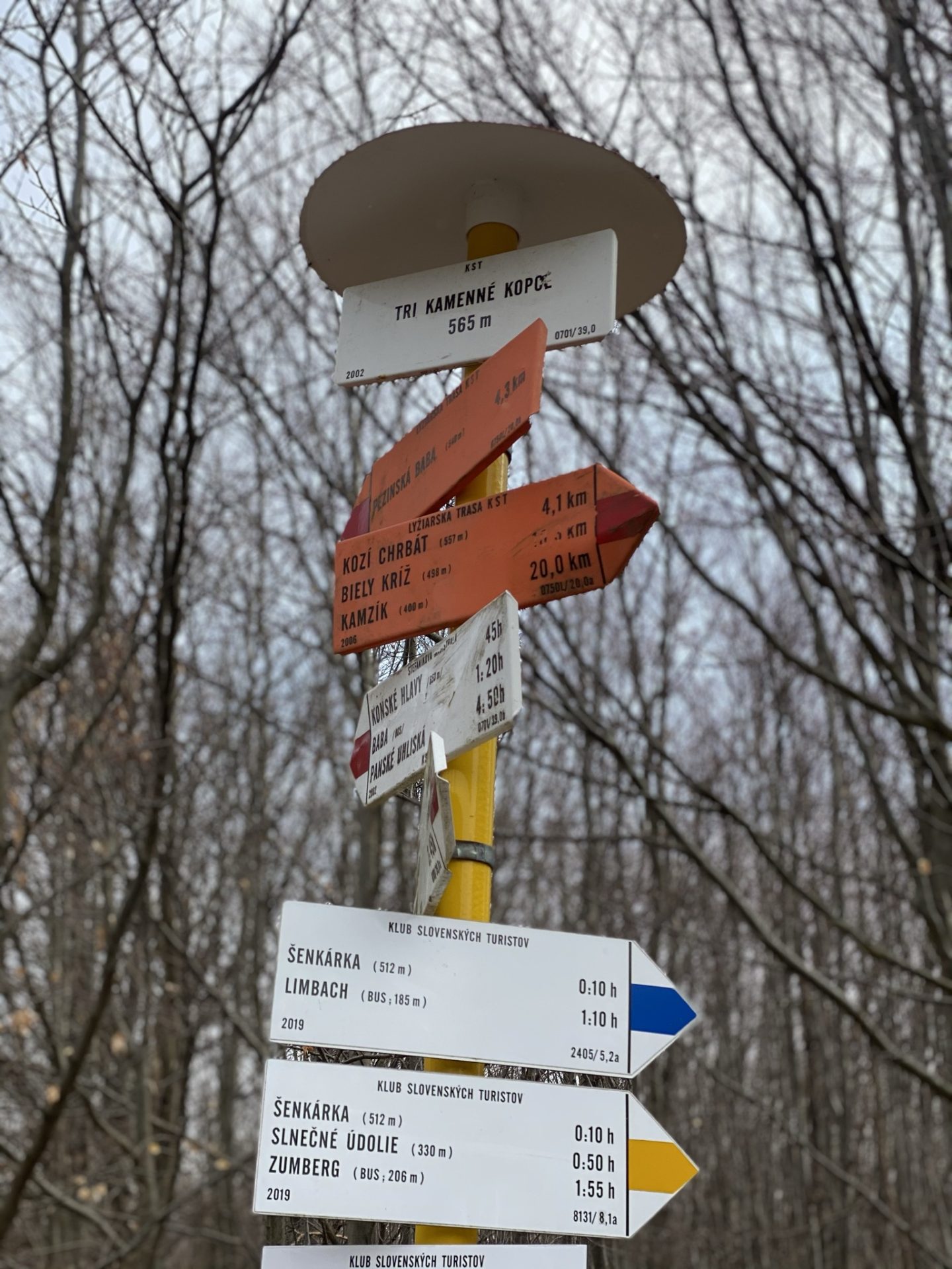
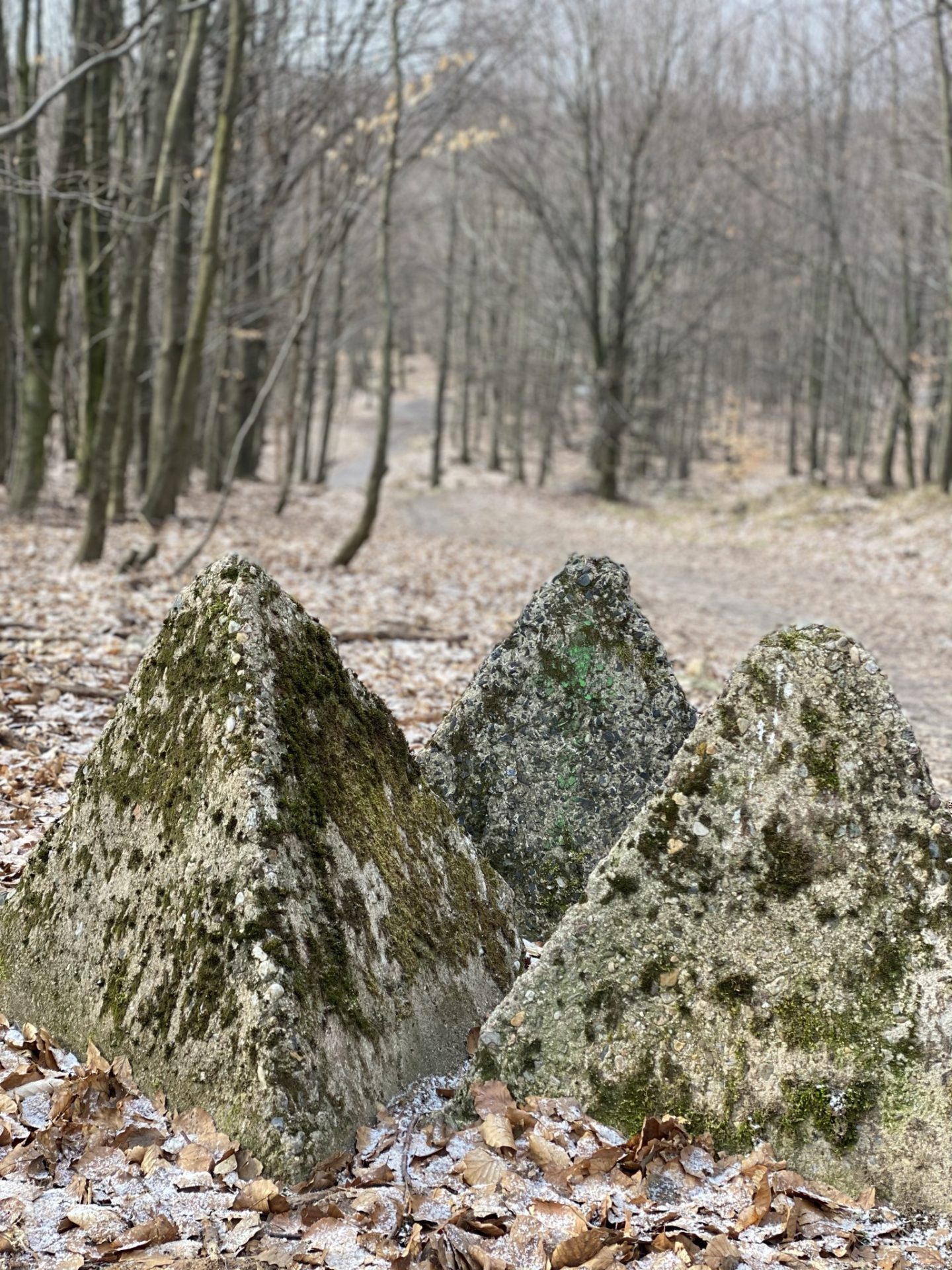
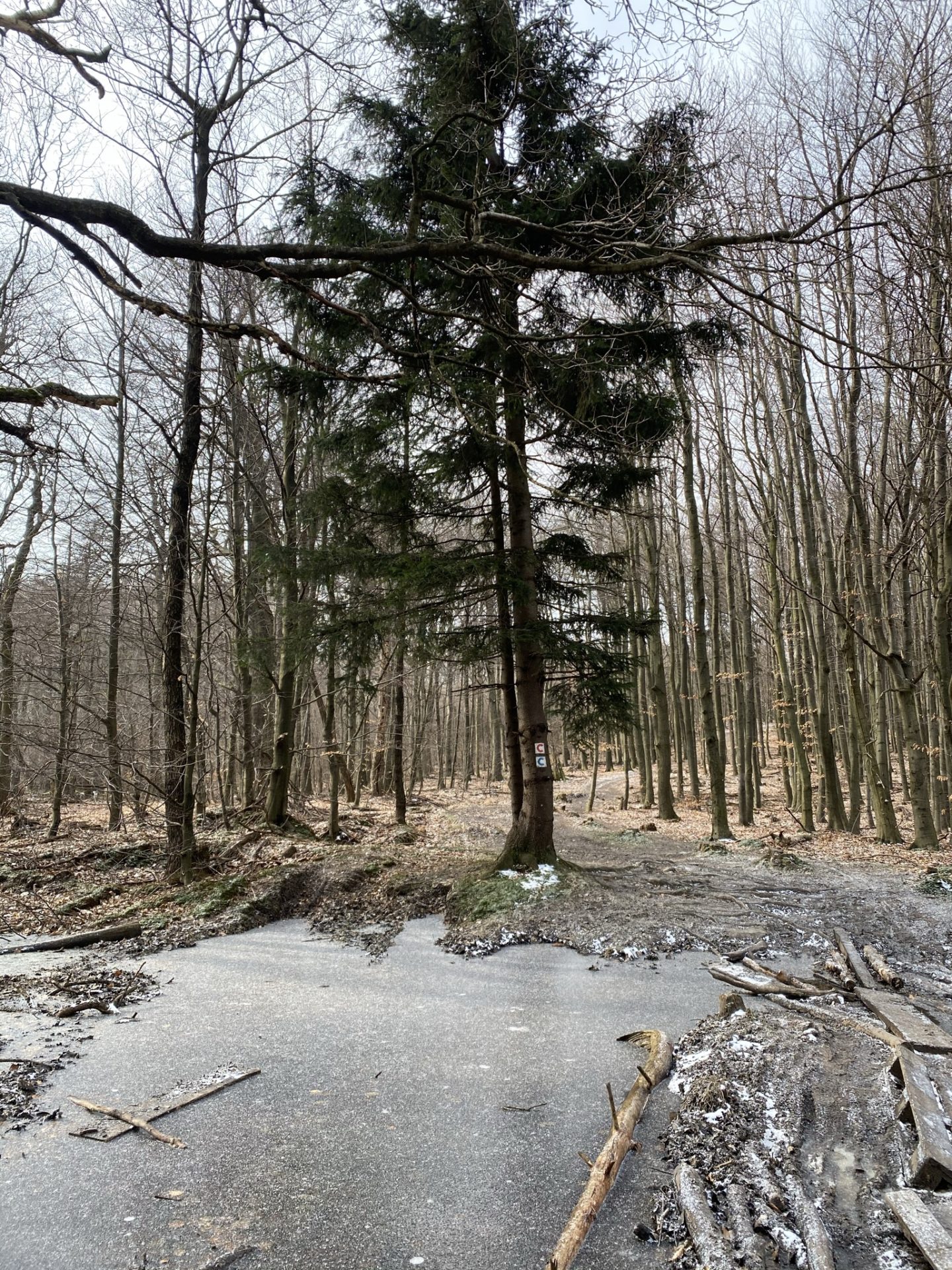
After about 4 km (2.5 miles), you reach Three Stone Hills (Tri Kamenné Vrchy). The approach is surprisingly comfortable, with a wide, well-maintained road leading to the area, as it is used as a military zone. Along the way, you will notice several signs reminding visitors of this, which adds an interesting and slightly unexpected layer to the hike.
Continuing our waddle past the Three Stone Hills, the trail led us deeper into the forest along a beautiful, winding path. In warmer months, this section must feel almost enchanting, with fresh green leaves forming a natural tunnel overhead. During our hike, however, the forest felt quieter and a little eerie, with bare branches, muted colours, and only the sound of our steps accompanying us as we moved through the trees.
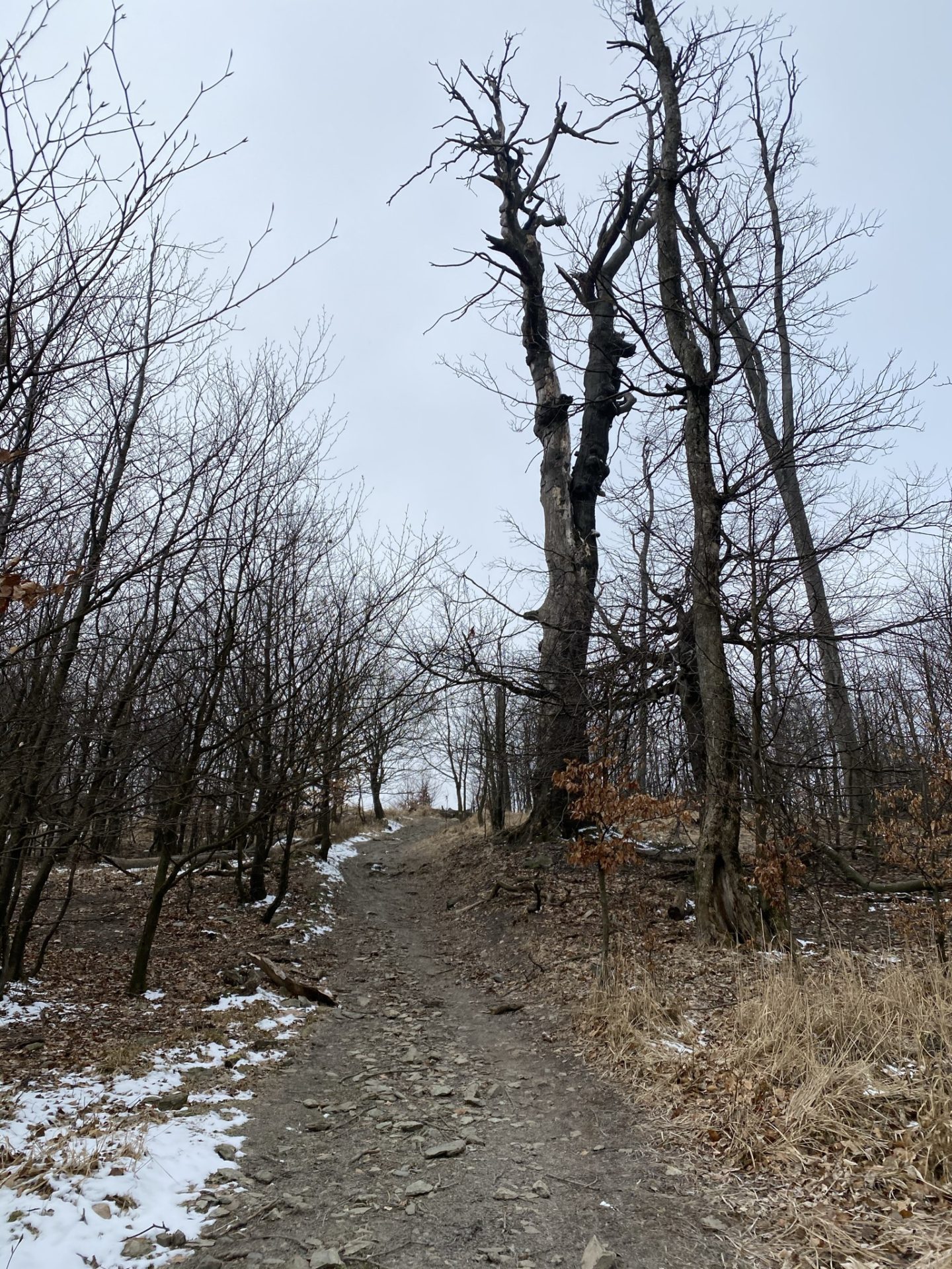
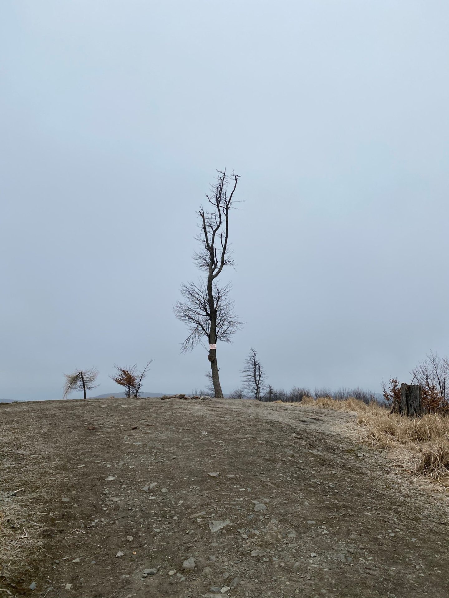
The sign pointing to the Somár hill stands about 100 meters before the actual summit. When you arrive, you are greeted by a single tree, the last one standing on the hilltop. There is a simple fire pit here, and if you are lucky, you might even find some wood already prepared. In summer, this spot is a popular place to pause, relax, and enjoy a snack with a view. In the past, the hill was dotted with more trees, but today this lone survivor gives the place a slightly melancholic yet memorable character.
Coming in the winter months, we fully expected strong winds, but the ones waiting for us were a little beyond what we had imagined. Still, the views made every chilly gust worth it.
The panorama from the top is awe-inspiring. Even on a cloudy day, visibility is excellent. As the highest hill in the southwestern part of the Little Carpathians, Somár offers wide, almost circular views of the surrounding hills. On clear stretches, you can admire the flat expanse of Záhorská nížina, and if you look carefully, you can even spot the TV tower on Kamzík in the distance.
Best Time to Visit
The best time to visit this hike in the Little Carpathians is from spring to autumn, when the trails are clear and the forests are at their most inviting. Spring brings fresh greenery and fewer crowds, while summer offers long days and pleasant conditions, making it ideal even for families with children. Autumn is especially beautiful, with colourful leaves and crisp air that makes hiking an absolute pleasure. Winter hikes are possible as well, but be prepared for strong winds, colder temperatures, and occasional snow, especially near the summit. Starting early in the day is recommended year-round if you want quieter trails and the best atmosphere.

Buy Me a Ko-fi
Overall, it is a very enjoyable hike, with only a few sections that are a little steeper but still perfectly manageable, even for a penguin. The trail feels well-balanced and rewarding without being too demanding.
Thanks to its strategic location, the area also offers plenty more to explore if you feel like extending your adventure. Nearby highlights include Biely kríž, Medené Hámre, Priehrada Lozorno, Pajštún, and Dračí hrádok, among others. With so many options close by, this hike can easily turn into a full-day trip filled with nature, views, and a bit of extra waddling.
Pack your bags and waddle on!
Save This Pin for Later!
This post contains affiliate links. If you click and buy, I might earn a tiny commission, enough to help a penguin keep up its globe-trotting lifestyle. No extra cost to you, just more fish for me. Thank you for supporting the adventure!